Distance to Clayfields, Georgia

Calculating Your Route
Just a moment while we process your request...
Location Information
-
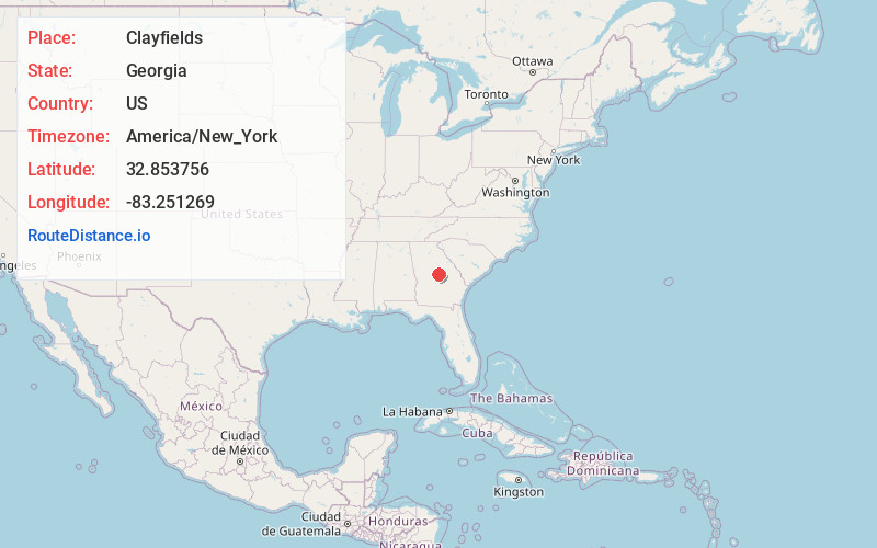
Full AddressClayfields, GA 31054
-
Coordinates32.8537556, -83.2512685
-
LocationGeorgia , US
-
TimezoneAmerica/New_York
-
Current Local Time5:17:44 AM America/New_YorkWednesday, June 18, 2025
-
Page Views0
Nearby Places
Found 10 places within 50 miles

Dedrich
1.3 mi
2.1 km
Dedrich, McIntyre, GA 31054
Get directions
Edgars
2.3 mi
3.7 km
Edgars, McIntyre, GA 31054
Get directions

McIntyre
3.4 mi
5.5 km
McIntyre, GA 31054
Get directions

Ivey
4.6 mi
7.4 km
Ivey, GA 31031
Get directions

Gordon
5.1 mi
8.2 km
Gordon, GA 31031
Get directions
Wriley
5.4 mi
8.7 km
Wriley, GA 31054
Get directions

Irwinton
5.4 mi
8.7 km
Irwinton, GA
Get directions
Myricks Mill
8.7 mi
14.0 km
Myricks Mill, GA 31044
Get directions
Pancras
10.0 mi
16.1 km
Pancras, GA 31031
Get directions
Toomsboro
10.2 mi
16.4 km
Toomsboro, GA
Get directions
Location Links
Local Weather
Weather Information
Coming soon!
Location Map
Static map view of Clayfields, Georgia
Browse Places by Distance
Places within specific distances from Clayfields
Short Distances
Long Distances
Click any distance to see all places within that range from Clayfields. Distances shown in miles (1 mile ≈ 1.61 kilometers).