Distance to Clayton Twp, Michigan

Calculating Your Route
Just a moment while we process your request...
Location Information
-
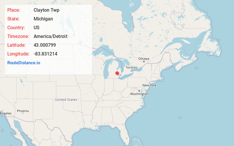
Full AddressClayton Twp, MI
-
Coordinates43.0007988, -83.8312138
-
LocationClayton Twp , Michigan , US
-
TimezoneAmerica/Detroit
-
Current Local Time6:46:54 PM America/DetroitFriday, June 20, 2025
-
Page Views0
About Clayton Twp
Clayton Charter Township, or more officially Charter Township of Clayton, is a charter township of Genesee County in the U.S. state of Michigan. The population was 7,460 at the 2020 census.


Nearby Places
Found 10 places within 50 miles

Flint Twp
3.0 mi
4.8 km
Flint Twp, MI
Get directions

Swartz Creek
3.0 mi
4.8 km
Swartz Creek, MI
Get directions

Flushing
4.4 mi
7.1 km
Flushing, MI 48433
Get directions
Lennon
5.0 mi
8.0 km
Lennon, MI 48449
Get directions

Mt Morris Township
5.7 mi
9.2 km
Mt Morris Township, MI
Get directions
Duffield
6.4 mi
10.3 km
Duffield, Gaines Township, MI 48473
Get directions
Rankin
7.2 mi
11.6 km
Rankin, MI 48473
Get directions

Flint
7.3 mi
11.7 km
Flint, MI
Get directions

Mundy Township
7.9 mi
12.7 km
Mundy Township, MI
Get directions
Venice Township
8.3 mi
13.4 km
Venice Township, MI
Get directions
Location Links
Local Weather
Weather Information
Coming soon!
Location Map
Static map view of Clayton Twp, Michigan
Browse Places by Distance
Places within specific distances from Clayton Twp
Short Distances
Long Distances
Click any distance to see all places within that range from Clayton Twp. Distances shown in miles (1 mile ≈ 1.61 kilometers).