Distance to Clearfield, Kansas

Calculating Your Route
Just a moment while we process your request...
Location Information
-
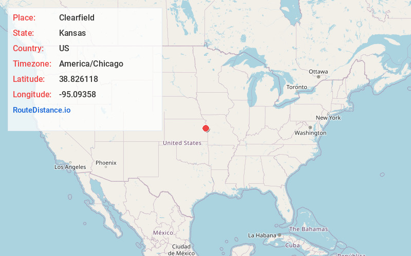
Full AddressClearfield, Palmyra Township, KS 66025
-
Coordinates38.8261175, -95.0935803
-
LocationPalmyra Township , Kansas , US
-
TimezoneAmerica/Chicago
-
Current Local Time4:26:02 AM America/ChicagoWednesday, May 21, 2025
-
Page Views0
About Clearfield
Clearfield is an unincorporated community in Douglas County, Kansas, United States, and is located northeast of Baldwin City at the intersection of E 2200 and N 600 roads.
Nearby Places
Found 10 places within 50 miles

Hesper
5.1 mi
8.2 km
Hesper, Eudora Township, KS 66025
Get directions

Baldwin City
6.1 mi
9.8 km
Baldwin City, KS 66006
Get directions

Edgerton
6.3 mi
10.1 km
Edgerton, KS
Get directions

Wellsville
7.5 mi
12.1 km
Wellsville, KS 66092
Get directions

Eudora
8.1 mi
13.0 km
Eudora, KS 66025
Get directions

Gardner
9.0 mi
14.5 km
Gardner, KS
Get directions
Le Loup
9.7 mi
15.6 km
Le Loup, Franklin Township, KS 66092
Get directions
Fall Leaf
10.3 mi
16.6 km
Fall Leaf, KS 66052
Get directions
Clare
12.0 mi
19.3 km
Clare, Gardner Township, KS 66061
Get directions

Linwood
12.5 mi
20.1 km
Linwood, KS
Get directions
Location Links
Local Weather
Weather Information
Coming soon!
Location Map
Static map view of Clearfield, Kansas
Browse Places by Distance
Places within specific distances from Clearfield
Short Distances
Long Distances
Click any distance to see all places within that range from Clearfield. Distances shown in miles (1 mile ≈ 1.61 kilometers).