Distance to Le Loup, Kansas

Calculating Your Route
Just a moment while we process your request...
Location Information
-
Full AddressLe Loup, Franklin Township, KS 66092
-
Coordinates38.6952871, -95.1599708
-
LocationFranklin Township , Kansas , US
-
TimezoneAmerica/Chicago
-
Current Local Time12:51:07 PM America/ChicagoMonday, June 2, 2025
-
Page Views1
About Le Loup
LeLoup is an unincorporated community in Franklin County, Kansas, United States. It is located one and one-half miles north of Interstate 35 on Tennessee Road, 11 miles northeast of Ottawa and seven miles southwest of Wellsville.
Nearby Places
Found 10 places within 50 miles

Wellsville
4.5 mi
7.2 km
Wellsville, KS 66092
Get directions

Baldwin City
5.7 mi
9.2 km
Baldwin City, KS 66006
Get directions

Ottawa
8.0 mi
12.9 km
Ottawa, KS 66067
Get directions

Edgerton
9.5 mi
15.3 km
Edgerton, KS
Get directions

Centropolis
10.4 mi
16.7 km
Centropolis, KS 66067
Get directions
Rantoul
10.6 mi
17.1 km
Rantoul, KS 66079
Get directions

Gardner
14.9 mi
24.0 km
Gardner, KS
Get directions
Princeton
15.6 mi
25.1 km
Princeton, KS 66078
Get directions

Pomona
16.8 mi
27.0 km
Pomona, KS 66076
Get directions

Hillsdale
16.9 mi
27.2 km
Hillsdale, KS 66071
Get directions
Location Links
Local Weather
Weather Information
Coming soon!
Location Map
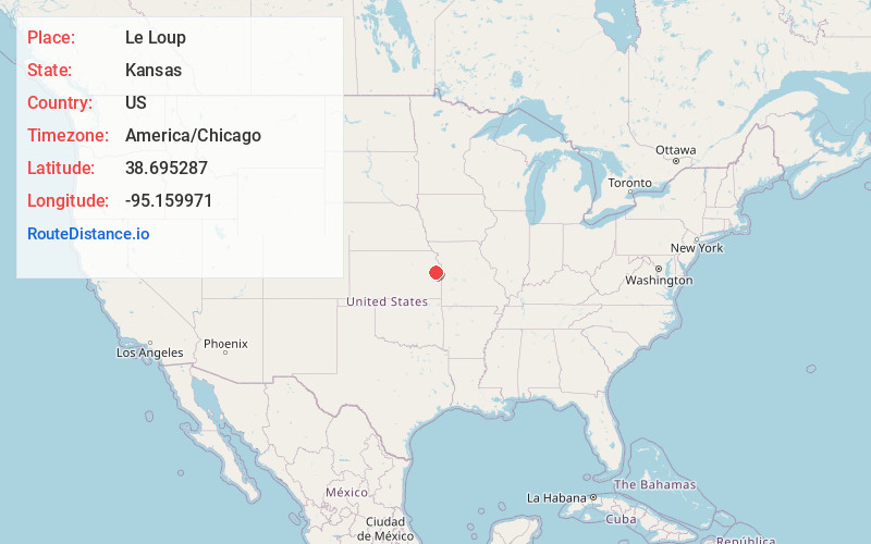
Static map view of Le Loup, Kansas
Browse Places by Distance
Places within specific distances from Le Loup
Short Distances
Long Distances
Click any distance to see all places within that range from Le Loup. Distances shown in miles (1 mile ≈ 1.61 kilometers).