Distance to Fall Leaf, Kansas

Calculating Your Route
Just a moment while we process your request...
Location Information
-
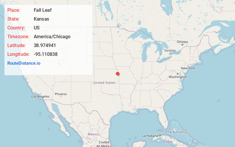
Full AddressFall Leaf, KS 66052
-
Coordinates38.9749413, -95.1108376
-
LocationFall Leaf , Kansas , US
-
TimezoneAmerica/Chicago
-
Current Local Time12:18:18 PM America/ChicagoFriday, June 20, 2025
-
Page Views0
About Fall Leaf
Fall Leaf is an unincorporated community in Leavenworth County, Kansas, United States. It is part of the Kansas City metropolitan area.
Nearby Places
Found 10 places within 50 miles

Eudora
2.3 mi
3.7 km
Eudora, KS 66025
Get directions

Linwood
4.3 mi
6.9 km
Linwood, KS
Get directions

Hesper
5.6 mi
9.0 km
Hesper, Eudora Township, KS 66025
Get directions

Lawrence
6.7 mi
10.8 km
Lawrence, KS
Get directions

De Soto
7.6 mi
12.2 km
De Soto, KS
Get directions

Tonganoxie
9.4 mi
15.1 km
Tonganoxie, KS 66086
Get directions

Buck Creek
10.6 mi
17.1 km
Buck Creek, Rural Township, KS 66073
Get directions
Williamstown
13.4 mi
21.6 km
Williamstown, KS 66073
Get directions

Bonner Springs
13.5 mi
21.7 km
Bonner Springs, KS
Get directions

Baldwin City
14.4 mi
23.2 km
Baldwin City, KS 66006
Get directions
Location Links
Local Weather
Weather Information
Coming soon!
Location Map
Static map view of Fall Leaf, Kansas
Browse Places by Distance
Places within specific distances from Fall Leaf
Short Distances
Long Distances
Click any distance to see all places within that range from Fall Leaf. Distances shown in miles (1 mile ≈ 1.61 kilometers).