Distance to Clegg, North Carolina

Calculating Your Route
Just a moment while we process your request...
Location Information
-
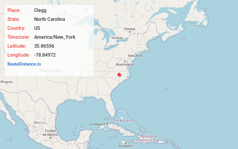
Full AddressClegg, NC 27560
-
Coordinates35.86556, -78.84972
-
LocationClegg , North Carolina , US
-
TimezoneAmerica/New_York
-
Current Local Time1:28:14 AM America/New_YorkWednesday, June 4, 2025
-
Page Views0
About Clegg
Clegg is an unincorporated community in Wake County, North Carolina, United States on North Carolina Highway 54, north of the highway's intersection with North Carolina Highway 540.
Nearby Places
Found 10 places within 50 miles

Cedar Fork Township
2.2 mi
3.5 km
Cedar Fork Township, NC
Get directions

Morrisville
3.2 mi
5.1 km
Morrisville, NC
Get directions
Lowes Grove
3.4 mi
5.5 km
Lowes Grove, Durham, NC 27713
Get directions
Brassfield
4.5 mi
7.2 km
Brassfield, Durham, NC 27703
Get directions
Upchurch
5.3 mi
8.5 km
Upchurch, Cary, NC 27519
Get directions
Brookstone
5.5 mi
8.9 km
Brookstone, Cary, NC 27519
Get directions
Blands
6.2 mi
10.0 km
Blands, NC 27713
Get directions
Bilboa
6.3 mi
10.1 km
Bilboa, NC 27703
Get directions

Cary
6.6 mi
10.6 km
Cary, NC
Get directions
Medfield
7.1 mi
11.4 km
Medfield, NC 27607
Get directions
Location Links
Local Weather
Weather Information
Coming soon!
Location Map
Static map view of Clegg, North Carolina
Browse Places by Distance
Places within specific distances from Clegg
Short Distances
Long Distances
Click any distance to see all places within that range from Clegg. Distances shown in miles (1 mile ≈ 1.61 kilometers).