Distance to Clifford, Michigan

Calculating Your Route
Just a moment while we process your request...
Location Information
-
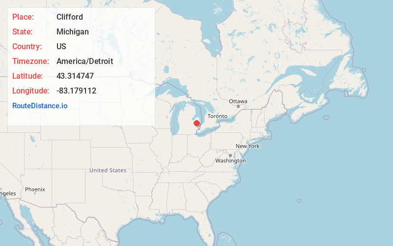
Full AddressClifford, MI 48727
-
Coordinates43.3147467, -83.1791117
-
LocationClifford , Michigan , US
-
TimezoneAmerica/Detroit
-
Current Local Time4:08:49 PM America/DetroitSunday, May 18, 2025
-
Page Views0
About Clifford
Clifford is a village in Lapeer County of the U.S. state of Michigan. The population was 324 at the 2010 census. The village is within Burlington Township.
Nearby Places
Found 10 places within 50 miles

Marlette
5.0 mi
8.0 km
Marlette, MI 48453
Get directions

North Branch
6.0 mi
9.7 km
North Branch, MI 48461
Get directions

Kingston
6.9 mi
11.1 km
Kingston, MI 48741
Get directions

Mayville
8.8 mi
14.2 km
Mayville, MI 48744
Get directions

Watertown Township
11.5 mi
18.5 km
Watertown Township, MI
Get directions

Brown City
11.9 mi
19.2 km
Brown City, MI 48416
Get directions

Snover
14.6 mi
23.5 km
Snover, MI 48472
Get directions

Otter Lake
15.5 mi
24.9 km
Otter Lake, MI 48464
Get directions

Columbiaville
16.0 mi
25.7 km
Columbiaville, MI 48421
Get directions

Caro
16.4 mi
26.4 km
Caro, MI 48723
Get directions
Location Links
Local Weather
Weather Information
Coming soon!
Location Map
Static map view of Clifford, Michigan
Browse Places by Distance
Places within specific distances from Clifford
Short Distances
Long Distances
Click any distance to see all places within that range from Clifford. Distances shown in miles (1 mile ≈ 1.61 kilometers).