Distance to Clinchfield, Georgia

Calculating Your Route
Just a moment while we process your request...
Location Information
-
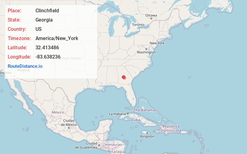
Full AddressClinchfield, GA 31069
-
Coordinates32.4134862, -83.6382363
-
LocationClinchfield , Georgia , US
-
TimezoneAmerica/New_York
-
Current Local Time7:51:08 PM America/New_YorkThursday, June 19, 2025
-
Page Views0
About Clinchfield
Clinchfield is an unincorporated community in south-central Houston County, Georgia, United States. It lies near U.S. Route 341 at the junction of Georgia Highway 224. It is part of the Perry, Georgia Metropolitan Statistical Area.
Nearby Places
Found 10 places within 50 miles

Houston County
0.6 mi
1.0 km
Houston County, GA
Get directions

Pabst
2.0 mi
3.2 km
Pabst, GA 31069
Get directions
Sand Bed
3.2 mi
5.1 km
Sand Bed, GA 31047
Get directions
Klondike
5.8 mi
9.3 km
Klondike, GA 31036
Get directions

Kathleen
6.0 mi
9.7 km
Kathleen, GA 31047
Get directions
Houston Lake
6.1 mi
9.8 km
Houston Lake, GA 31069
Get directions

Perry
6.3 mi
10.1 km
Perry, GA
Get directions

Elko
7.0 mi
11.3 km
Elko, GA 31025
Get directions
Moss Oak
8.0 mi
12.9 km
Moss Oak, Perry, GA 31069
Get directions
Browndale
8.1 mi
13.0 km
Browndale, GA 31036
Get directions
Location Links
Local Weather
Weather Information
Coming soon!
Location Map
Static map view of Clinchfield, Georgia
Browse Places by Distance
Places within specific distances from Clinchfield
Short Distances
Long Distances
Click any distance to see all places within that range from Clinchfield. Distances shown in miles (1 mile ≈ 1.61 kilometers).