Distance to Closplint, Kentucky

Calculating Your Route
Just a moment while we process your request...
Location Information
-
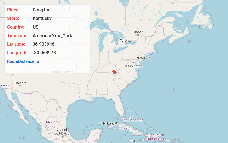
Full AddressClosplint, KY 40927
-
Coordinates36.9039463, -83.0689781
-
LocationClosplint , Kentucky , US
-
TimezoneAmerica/New_York
-
Current Local Time2:18:58 PM America/New_YorkMonday, May 19, 2025
-
Page Views0
About Closplint
Closplint is an unincorporated community in Harlan County, Kentucky, United States. The settlement was named Cloversplint after the mining company that built the mine to exploit the coal and the settlement as a coal town in 1926.
Nearby Places
Found 10 places within 50 miles

Rileyville
0.5 mi
0.8 km
Rileyville, KY 40927
Get directions
Black Bottom
0.7 mi
1.1 km
Black Bottom, KY 40828
Get directions
Ridgeway
3.2 mi
5.1 km
Ridgeway, KY 40828
Get directions
Benito
3.3 mi
5.3 km
Benito, KY 40828
Get directions
Gano
3.6 mi
5.8 km
Gano, KY 40828
Get directions
Shields
4.1 mi
6.6 km
Shields, KY 40828
Get directions
Dizney
4.4 mi
7.1 km
Dizney, KY 40828
Get directions
Holmes Mill
4.4 mi
7.1 km
Holmes Mill, KY 40927
Get directions
Hiram
4.5 mi
7.2 km
Hiram, KY 40823
Get directions
Colts
4.6 mi
7.4 km
Colts, KY 40828
Get directions
Location Links
Local Weather
Weather Information
Coming soon!
Location Map
Static map view of Closplint, Kentucky
Browse Places by Distance
Places within specific distances from Closplint
Short Distances
Long Distances
Click any distance to see all places within that range from Closplint. Distances shown in miles (1 mile ≈ 1.61 kilometers).