Distance to Shields, Kentucky

Calculating Your Route
Just a moment while we process your request...
Location Information
-
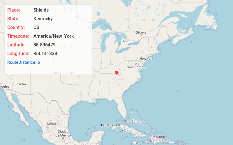
Full AddressShields, KY 40828
-
Coordinates36.8964793, -83.1418378
-
LocationKentucky , US
-
TimezoneAmerica/New_York
-
Current Local Time9:05:54 AM America/New_YorkMonday, June 23, 2025
-
Page Views0
Nearby Places
Found 10 places within 50 miles

Gano
0.5 mi
0.8 km
Gano, KY 40828
Get directions
Benito
0.8 mi
1.3 km
Benito, KY 40828
Get directions
Colts
1.1 mi
1.8 km
Colts, KY 40828
Get directions
River Ridge
2.1 mi
3.4 km
River Ridge, KY 40828
Get directions
Redbud
2.9 mi
4.7 km
Redbud, KY 40828
Get directions
Bailey Creek
2.9 mi
4.7 km
Bailey Creek, KY 40828
Get directions
Kenvir
3.1 mi
5.0 km
Kenvir, KY
Get directions
Dizney
3.3 mi
5.3 km
Dizney, KY 40828
Get directions
Black Bottom
3.4 mi
5.5 km
Black Bottom, KY 40828
Get directions

Evarts
3.8 mi
6.1 km
Evarts, KY 40828
Get directions
Location Links
Local Weather
Weather Information
Coming soon!
Location Map
Static map view of Shields, Kentucky
Browse Places by Distance
Places within specific distances from Shields
Short Distances
Long Distances
Click any distance to see all places within that range from Shields. Distances shown in miles (1 mile ≈ 1.61 kilometers).