Distance to and from Redbud, Kentucky
Redbud, KY 40828
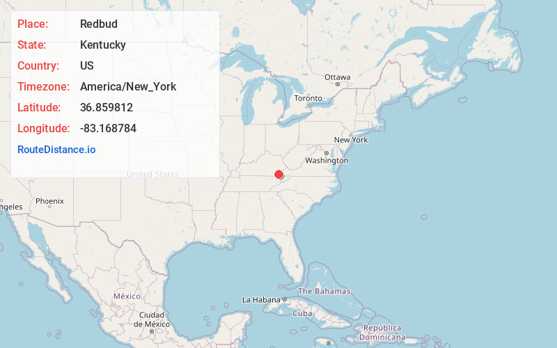
Redbud
Kentucky
US
America/New_York
Location Information
-
Full AddressRedbud, KY 40828
-
Coordinates36.8598118, -83.1687842
-
LocationRedbud , Kentucky , US
-
TimezoneAmerica/New_York
-
Current Local Time12:56:53 AM America/New_YorkMonday, May 5, 2025
-
Page Views0
Directions to Nearest Cities
About Redbud
Redbud is an unincorporated community in Harlan County, Kentucky, United States. The Redbud Post Office is closed.
Nearby Places
Found 10 places within 50 miles

Kenvir
0.8 mi
1.3 km
Kenvir, KY
Get directions
River Ridge
1.2 mi
1.9 km
River Ridge, KY 40828
Get directions

Evarts
1.5 mi
2.4 km
Evarts, KY 40828
Get directions
Bailey Creek
1.8 mi
2.9 km
Bailey Creek, KY 40828
Get directions
Colts
1.9 mi
3.1 km
Colts, KY 40828
Get directions
Kildav
2.0 mi
3.2 km
Kildav, KY 40828
Get directions
Ten Spot
2.9 mi
4.7 km
Ten Spot, KY 40828
Get directions
Gano
3.4 mi
5.5 km
Gano, KY 40828
Get directions
Ages
4.2 mi
6.8 km
Ages, KY
Get directions
Putney
4.5 mi
7.2 km
Putney, KY 40865
Get directions
Kenvir
0.8 mi
1.3 km
Kenvir, KY
River Ridge
1.2 mi
1.9 km
River Ridge, KY 40828
Evarts
1.5 mi
2.4 km
Evarts, KY 40828
Bailey Creek
1.8 mi
2.9 km
Bailey Creek, KY 40828
Colts
1.9 mi
3.1 km
Colts, KY 40828
Kildav
2.0 mi
3.2 km
Kildav, KY 40828
Ten Spot
2.9 mi
4.7 km
Ten Spot, KY 40828
Gano
3.4 mi
5.5 km
Gano, KY 40828
Ages
4.2 mi
6.8 km
Ages, KY
Putney
4.5 mi
7.2 km
Putney, KY 40865
Location Links
Local Weather
Weather Information
Coming soon!
Location Map
Static map view of Redbud, Kentucky
Browse Places by Distance
Places within specific distances from Redbud
Short Distances
Long Distances
Click any distance to see all places within that range from Redbud. Distances shown in miles (1 mile ≈ 1.61 kilometers).