Distance to Cloutierville, Louisiana

Calculating Your Route
Just a moment while we process your request...
Location Information
-
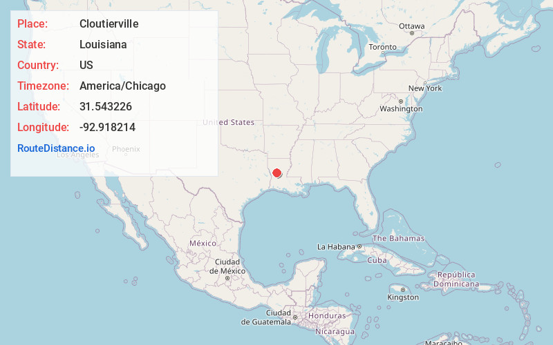
Full AddressCloutierville, LA 71416
-
Coordinates31.543226, -92.9182136
-
LocationCloutierville , Louisiana , US
-
TimezoneAmerica/Chicago
-
Current Local Time11:31:34 AM America/ChicagoThursday, June 19, 2025
-
Page Views0
About Cloutierville
Cloutierville is an unincorporated community in Natchitoches Parish, Louisiana, United States. It lies approximately 20 miles south of the city of Natchitoches on the Cane River. The community is part of the Natchitoches Micropolitan Statistical Area, off exit 119 of Interstate 49.
Nearby Places
Found 10 places within 50 miles

Fern
2.6 mi
4.2 km
Fern, LA 71416
Get directions
Sampusand
3.8 mi
6.1 km
Sampusand, LA 71447
Get directions
Montrose
4.7 mi
7.6 km
Montrose, LA 71416
Get directions
Melrose
4.8 mi
7.7 km
Melrose, LA 71456
Get directions
Janie
5.9 mi
9.5 km
Janie, LA 71447
Get directions
Odra
6.1 mi
9.8 km
Odra, LA 71416
Get directions
Gorum
7.8 mi
12.6 km
Gorum, LA 71447
Get directions

Montgomery
8.7 mi
14.0 km
Montgomery, LA 71454
Get directions
Galbraith Oil Field
8.9 mi
14.3 km
Galbraith Oil Field, Louisiana 71447
Get directions
Aloha
9.0 mi
14.5 km
Aloha, LA 71417
Get directions
Location Links
Local Weather
Weather Information
Coming soon!
Location Map
Static map view of Cloutierville, Louisiana
Browse Places by Distance
Places within specific distances from Cloutierville
Short Distances
Long Distances
Click any distance to see all places within that range from Cloutierville. Distances shown in miles (1 mile ≈ 1.61 kilometers).