Distance to Cloverdale, Oregon

Calculating Your Route
Just a moment while we process your request...
Location Information
-
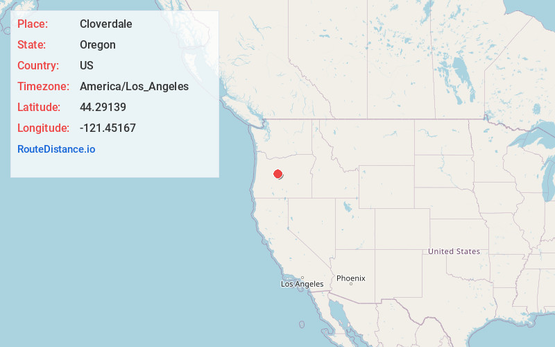
Full AddressCloverdale, OR 97759
-
Coordinates44.29139, -121.45167
-
LocationCloverdale , Oregon , US
-
TimezoneAmerica/Los_Angeles
-
Current Local Time6:22:42 AM America/Los_AngelesSaturday, June 21, 2025
-
Page Views0
About Cloverdale
Cloverdale is an unincorporated community in Deschutes County, Oregon, United States. It is located about five miles east of Sisters, on Oregon Route 126.
In the late 19th century, Cloverdale became important stop on the A. J. Warrin Road, an alternative route to the Santiam Wagon Road on the way to Prineville.
Nearby Places
Found 10 places within 50 miles

Indian Ford Creek
4.5 mi
7.2 km
Indian Ford Creek, Oregon 97759
Get directions

Sisters
4.8 mi
7.7 km
Sisters, OR 97759
Get directions

Tumalo
11.5 mi
18.5 km
Tumalo, OR 97703
Get directions

Black Butte Ranch
11.6 mi
18.7 km
Black Butte Ranch, OR
Get directions

Geneva
12.9 mi
20.8 km
Geneva, OR 97734
Get directions

Redmond
13.8 mi
22.2 km
Redmond, OR 97756
Get directions

Terrebonne
14.2 mi
22.9 km
Terrebonne, OR 97760
Get directions

Camp Sherman
15.1 mi
24.3 km
Camp Sherman, OR 97730
Get directions
Opal City
15.8 mi
25.4 km
Opal City, OR 97734
Get directions

Smith Rock State Park
16.3 mi
26.2 km
Smith Rock State Park, Oregon 97760
Get directions
Location Links
Local Weather
Weather Information
Coming soon!
Location Map
Static map view of Cloverdale, Oregon
Browse Places by Distance
Places within specific distances from Cloverdale
Short Distances
Long Distances
Click any distance to see all places within that range from Cloverdale. Distances shown in miles (1 mile ≈ 1.61 kilometers).