Distance to Smith Rock State Park, Oregon

Calculating Your Route
Just a moment while we process your request...
Location Information
-
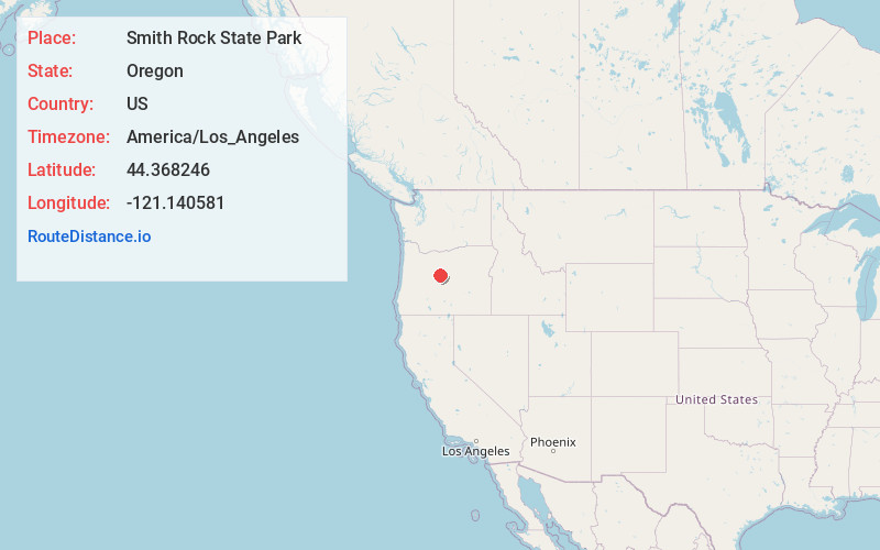
Full AddressSmith Rock State Park, Oregon 97760
-
Coordinates44.3682459, -121.1405814
-
LocationOregon , US
-
TimezoneAmerica/Los_Angeles
-
Current Local Time2:25:42 PM America/Los_AngelesThursday, June 26, 2025
-
Page Views0
About Smith Rock State Park
Renowned rock climbing destination in a dramatic canyon with hiking trails & primitive campsites.


Nearby Places
Found 10 places within 50 miles

Terrebonne
2.1 mi
3.4 km
Terrebonne, OR 97760
Get directions

Forest Crossing
3.2 mi
5.1 km
Forest Crossing, OR 97760
Get directions
Opal City
6.4 mi
10.3 km
Opal City, OR 97734
Get directions

Redmond
6.8 mi
10.9 km
Redmond, OR 97756
Get directions
Powell Butte
10.3 mi
16.6 km
Powell Butte, OR 97753
Get directions

Culver
11.5 mi
18.5 km
Culver, OR 97734
Get directions
Grizzly
14.1 mi
22.7 km
Grizzly, OR 97741
Get directions
Geneva
14.4 mi
23.2 km
Geneva, OR 97734
Get directions

Metolius
15.2 mi
24.5 km
Metolius, OR 97741
Get directions
Grandview
15.4 mi
24.8 km
Grandview, OR 97734
Get directions
Location Links
Local Weather
Weather Information
Coming soon!
Location Map
Static map view of Smith Rock State Park, Oregon
Browse Places by Distance
Places within specific distances from Smith Rock State Park
Short Distances
Long Distances
Click any distance to see all places within that range from Smith Rock State Park. Distances shown in miles (1 mile ≈ 1.61 kilometers).