Distance to Cloyds Landing, Kentucky

Calculating Your Route
Just a moment while we process your request...
Location Information
-
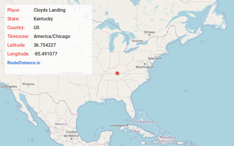
Full AddressCloyds Landing, KY 42717
-
Coordinates36.7542271, -85.4910771
-
LocationKentucky , US
-
TimezoneAmerica/Chicago
-
Current Local Time9:01:58 PM America/ChicagoThursday, June 26, 2025
-
Page Views0
Nearby Places
Found 10 places within 50 miles

Arat
1.5 mi
2.4 km
Arat, KY 42717
Get directions
Meshack
3.5 mi
5.6 km
Meshack, KY 42167
Get directions
Ellington
3.8 mi
6.1 km
Ellington, KY 42717
Get directions
Judio
4.1 mi
6.6 km
Judio, KY 42717
Get directions
Stalcup
4.3 mi
6.9 km
Stalcup, KY 42717
Get directions
Grider
4.9 mi
7.9 km
Grider, KY 42717
Get directions
Marrowbone
5.2 mi
8.4 km
Marrowbone, KY 42717
Get directions
Blythe
6.3 mi
10.1 km
Blythe, KY 42151
Get directions
Otia
6.3 mi
10.1 km
Otia, KY 42167
Get directions
Dubre
6.9 mi
11.1 km
Dubre, KY 42717
Get directions
Location Links
Local Weather
Weather Information
Coming soon!
Location Map
Static map view of Cloyds Landing, Kentucky
Browse Places by Distance
Places within specific distances from Cloyds Landing
Short Distances
Long Distances
Click any distance to see all places within that range from Cloyds Landing. Distances shown in miles (1 mile ≈ 1.61 kilometers).