Distance to Dubre, Kentucky

Calculating Your Route
Just a moment while we process your request...
Location Information
-
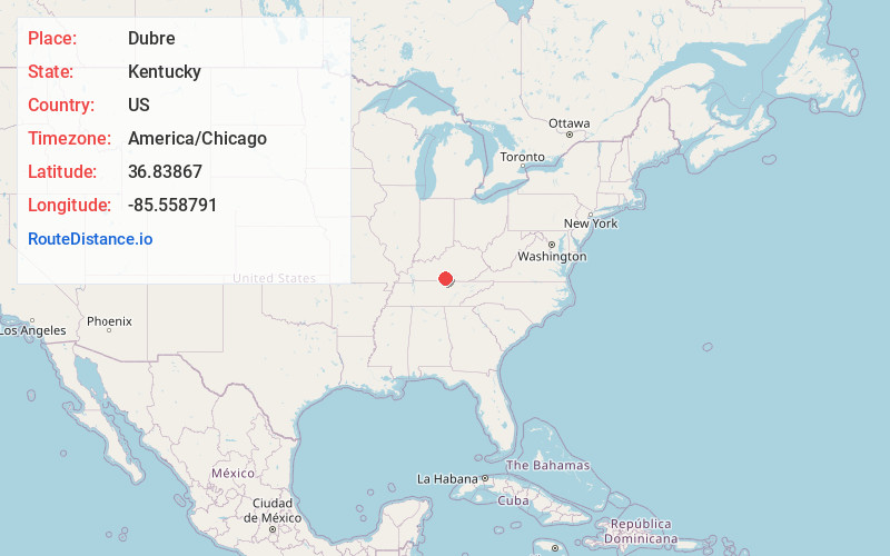
Full AddressDubre, KY 42717
-
Coordinates36.8386697, -85.5587907
-
LocationDubre , Kentucky , US
-
TimezoneAmerica/Chicago
-
Current Local Time9:38:28 AM America/ChicagoMonday, June 23, 2025
-
Page Views0
About Dubre
Dubre is an unincorporated community in Cumberland County, Kentucky, United States. It lies along Route 90 west of the city of Burkesville, the county seat of Cumberland County. Its elevation is 640 feet. Dubre had a post office, with the ZIP code of 42731.
Nearby Places
Found 10 places within 50 miles

Marrowbone
3.0 mi
4.8 km
Marrowbone, KY 42717
Get directions

Summer Shade
8.5 mi
13.7 km
Summer Shade, KY 42166
Get directions
Cofer
9.2 mi
14.8 km
Cofer, KY 42129
Get directions

Edmonton
10.2 mi
16.4 km
Edmonton, KY 42129
Get directions
Judio
10.8 mi
17.4 km
Judio, KY 42717
Get directions

Burkesville
10.9 mi
17.5 km
Burkesville, KY 42717
Get directions

Tompkinsville
12.0 mi
19.3 km
Tompkinsville, KY 42167
Get directions
Bakerton
12.5 mi
20.1 km
Bakerton, KY 42717
Get directions
Hestand
13.3 mi
21.4 km
Hestand, KY 42167
Get directions
Mud Lick
13.6 mi
21.9 km
Mud Lick, KY 42167
Get directions
Location Links
Local Weather
Weather Information
Coming soon!
Location Map
Static map view of Dubre, Kentucky
Browse Places by Distance
Places within specific distances from Dubre
Short Distances
Long Distances
Click any distance to see all places within that range from Dubre. Distances shown in miles (1 mile ≈ 1.61 kilometers).