Distance to Coal Creek Township, Indiana

Calculating Your Route
Just a moment while we process your request...
Location Information
-
Full AddressCoal Creek Township, IN
-
Coordinates40.1680003, -87.0024407
-
LocationCoal Creek Township , Indiana , US
-
TimezoneAmerica/Indianapolis
-
Page Views0
About Coal Creek Township
Coal Creek Township is one of eleven townships in Montgomery County, Indiana, United States. As of the 2020 census, its population was 1,455 and it contained 655 housing units.
Coal Creek Township took its name from Coal Creek, which was so named from the deposits of coal in its hillsides.
Nearby Places
Found 10 places within 50 miles

Elmdale
2.3 mi
3.7 km
Elmdale, Coal Creek Township, IN 47967
Get directions

New Richmond
2.3 mi
3.7 km
New Richmond, IN
Get directions

Wingate
3.7 mi
6.0 km
Wingate, IN
Get directions

Linden
5.4 mi
8.7 km
Linden, IN
Get directions
Cherry Grove
5.6 mi
9.0 km
Cherry Grove, IN 47933
Get directions

Waynetown
6.3 mi
10.1 km
Waynetown, IN 47990
Get directions
Wesley
6.9 mi
11.1 km
Wesley, IN 47990
Get directions
Mellott
7.7 mi
12.4 km
Mellott, IN
Get directions
Romney
7.8 mi
12.6 km
Romney, IN 47981
Get directions

Newtown
8.1 mi
13.0 km
Newtown, IN
Get directions
Location Links
Local Weather
Weather Information
Coming soon!
Location Map
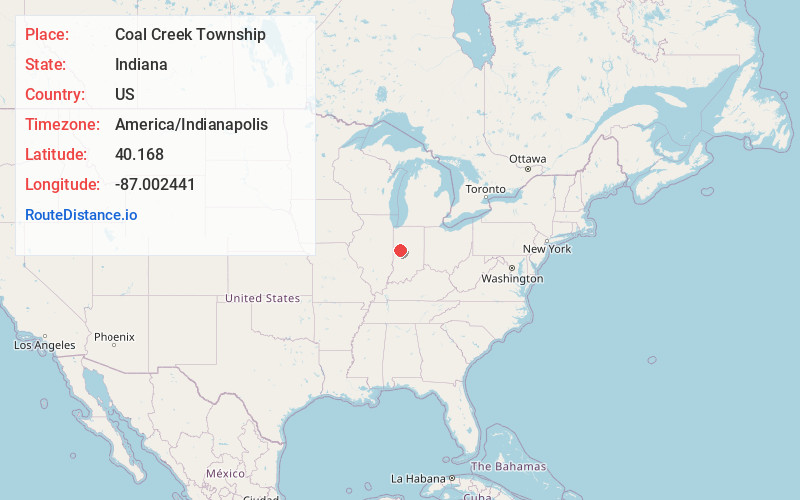
Static map view of Coal Creek Township, Indiana
Browse Places by Distance
Places within specific distances from Coal Creek Township
Short Distances
Long Distances
Click any distance to see all places within that range from Coal Creek Township. Distances shown in miles (1 mile ≈ 1.61 kilometers).