Distance to Colburn, Idaho

Calculating Your Route
Just a moment while we process your request...
Location Information
-
Full AddressColburn, ID 83864
-
Coordinates48.3971492, -116.5351946
-
LocationColburn , Idaho , US
-
TimezoneAmerica/Los_Angeles
-
Current Local Time4:58:44 AM America/Los_AngelesWednesday, June 18, 2025
-
Page Views0
About Colburn
Colburn is an unincorporated community in Bonner County, Idaho, United States. Colburn is located on U.S. Route 2 and U.S. Route 95 8.5 miles north of Sandpoint. Colburn has a post office with ZIP code 83865.
Nearby Places
Found 10 places within 50 miles

Kootenai
6.1 mi
9.8 km
Kootenai, ID
Get directions

Ponderay
6.3 mi
10.1 km
Ponderay, ID
Get directions

Sandpoint
8.4 mi
13.5 km
Sandpoint, ID 83864
Get directions

Dover
10.6 mi
17.1 km
Dover, ID
Get directions

Hope
14.7 mi
23.7 km
Hope, ID 83836
Get directions

East Hope
15.4 mi
24.8 km
East Hope, ID 83836
Get directions

Sherwood Beach
15.6 mi
25.1 km
Sherwood Beach, ID 83821
Get directions
Burns
17.1 mi
27.5 km
Burns, ID 83847
Get directions
Outlet Bay
17.7 mi
28.5 km
Outlet Bay, ID 83856
Get directions

Laclede
18.7 mi
30.1 km
Laclede, ID
Get directions
Location Links
Local Weather
Weather Information
Coming soon!
Location Map
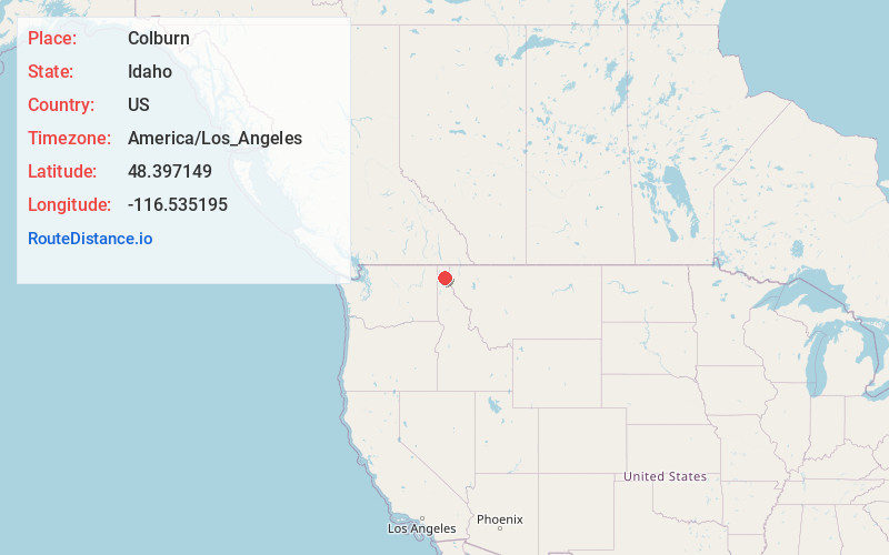
Static map view of Colburn, Idaho
Browse Places by Distance
Places within specific distances from Colburn
Short Distances
Long Distances
Click any distance to see all places within that range from Colburn. Distances shown in miles (1 mile ≈ 1.61 kilometers).