Distance to College Park, Georgia

Calculating Your Route
Just a moment while we process your request...
Location Information
-
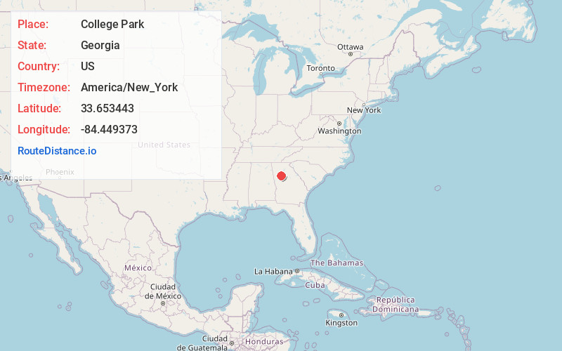
Full AddressCollege Park, GA
-
Coordinates33.6534427, -84.4493725
-
LocationCollege Park , Georgia , US
-
TimezoneAmerica/New_York
-
Current Local Time6:48:47 AM America/New_YorkMonday, June 2, 2025
-
Website
-
Page Views0
About College Park
College Park is a city in Fulton and Clayton counties, Georgia, United States, adjacent to the southern boundary of the city of Atlanta. As of the 2020 census, the population was 13,930.
Georgia International Convention Center and part of Hartsfield–Jackson Atlanta International Airport are located in the city.


Nearby Places
Found 10 places within 50 miles

East Point
1.9 mi
3.1 km
East Point, GA
Get directions

Forest Park
5.1 mi
8.2 km
Forest Park, GA
Get directions

Union City
7.1 mi
11.4 km
Union City, GA
Get directions

Atlanta
7.5 mi
12.1 km
Atlanta, GA
Get directions

Fairburn
9.6 mi
15.4 km
Fairburn, GA
Get directions

South Fulton
10.2 mi
16.4 km
South Fulton, GA
Get directions

Candler-McAfee
11.2 mi
18.0 km
Candler-McAfee, GA 30032
Get directions

Decatur
12.2 mi
19.6 km
Decatur, GA
Get directions

North Decatur
12.5 mi
20.1 km
North Decatur, GA
Get directions

Belvedere Park
12.6 mi
20.3 km
Belvedere Park, GA
Get directions
Location Links
Local Weather
Weather Information
Coming soon!
Location Map
Static map view of College Park, Georgia
Browse Places by Distance
Places within specific distances from College Park
Short Distances
Long Distances
Click any distance to see all places within that range from College Park. Distances shown in miles (1 mile ≈ 1.61 kilometers).