Distance to Collinsville, Ohio

Calculating Your Route
Just a moment while we process your request...
Location Information
-
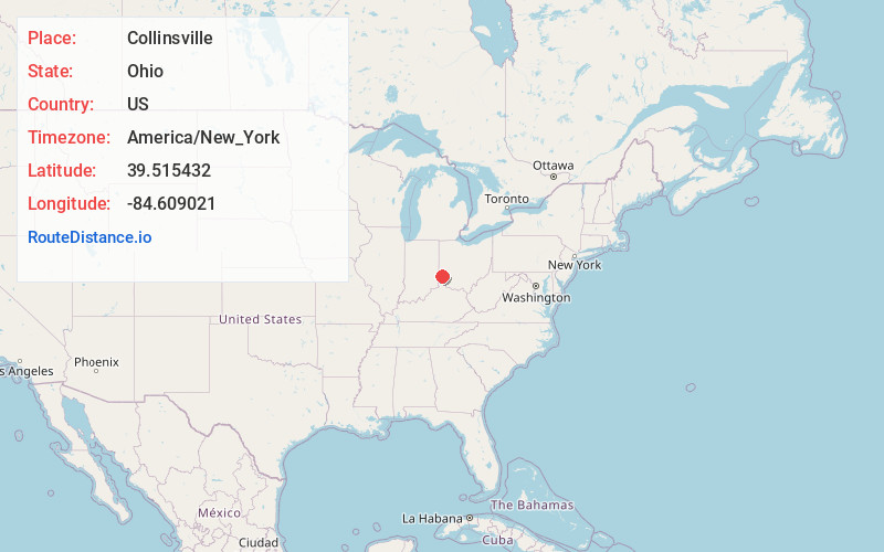
Full AddressCollinsville, OH
-
Coordinates39.5154324, -84.6090209
-
LocationCollinsville , Ohio , US
-
TimezoneAmerica/New_York
-
Current Local Time12:11:56 PM America/New_YorkSunday, June 1, 2025
-
Page Views0
About Collinsville
Collinsville is an unincorporated community and former village in southeastern Milford Township, Butler County, Ohio, United States. It has a post office with the ZIP code 45004. It lies at the intersection of U.S. Route 127 and State Route 73.
Collinsville was laid out in 1802.
Nearby Places
Found 10 places within 50 miles

Darrtown
3.1 mi
5.0 km
Darrtown, OH 45056
Get directions
Somerville
3.7 mi
6.0 km
Somerville, OH 45064
Get directions
Seven Mile
3.9 mi
6.3 km
Seven Mile, OH
Get directions
West Elkton
5.8 mi
9.3 km
West Elkton, OH
Get directions
Jacksonburg
5.9 mi
9.5 km
Jacksonburg, OH
Get directions
McGonigle
6.2 mi
10.0 km
McGonigle, Hanover Township, OH 45013
Get directions
Williamsdale
6.6 mi
10.6 km
Williamsdale, OH 45011
Get directions

New Miami
6.8 mi
10.9 km
New Miami, OH
Get directions

Oxford
7.3 mi
11.7 km
Oxford, OH 45056
Get directions
Busenbark
7.4 mi
11.9 km
Busenbark, St Clair Township, OH 45067
Get directions
Location Links
Local Weather
Weather Information
Coming soon!
Location Map
Static map view of Collinsville, Ohio
Browse Places by Distance
Places within specific distances from Collinsville
Short Distances
Long Distances
Click any distance to see all places within that range from Collinsville. Distances shown in miles (1 mile ≈ 1.61 kilometers).