Distance to Colyell, Louisiana

Calculating Your Route
Just a moment while we process your request...
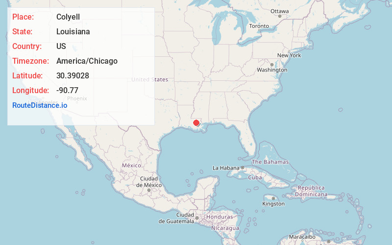
Location Information
-
Full AddressColyell, LA 70754
-
Coordinates30.39028, -90.77
-
LocationColyell , Louisiana , US
-
TimezoneAmerica/Chicago
-
Current Local Time3:03:22 PM America/ChicagoWednesday, June 18, 2025
-
Page Views0
About Colyell
Colyell is an unincorporated community in Livingston Parish, Louisiana, United States. It was named after Francisco Collell, who was the commandant of Galveztown in 1779.
Currently, the only school located in the Colyell area is Frost School, with grades pre-kindergarten through eighth.
Nearby Places
Found 10 places within 50 miles

Verdun
4.1 mi
6.6 km
Verdun, LA 70754
Get directions

Port Vincent
6.2 mi
10.0 km
Port Vincent, LA
Get directions
Union Landing
6.6 mi
10.6 km
Union Landing, LA 70754
Get directions
Claybank
6.6 mi
10.6 km
Claybank, LA 70769
Get directions
French Settlement
6.7 mi
10.8 km
French Settlement, LA
Get directions

Livingston
7.8 mi
12.6 km
Livingston, LA 70754
Get directions
Horse Bluff Landing
8.7 mi
14.0 km
Horse Bluff Landing, LA 70462
Get directions

Walker
8.7 mi
14.0 km
Walker, LA
Get directions

Maurepas
9.0 mi
14.5 km
Maurepas, LA 70449
Get directions

Holden
9.9 mi
15.9 km
Holden, LA 70744
Get directions
Location Links
Local Weather
Weather Information
Coming soon!
Location Map
Static map view of Colyell, Louisiana
Browse Places by Distance
Places within specific distances from Colyell
Short Distances
Long Distances
Click any distance to see all places within that range from Colyell. Distances shown in miles (1 mile ≈ 1.61 kilometers).