Distance to Comargo, Kentucky

Calculating Your Route
Just a moment while we process your request...
Location Information
-
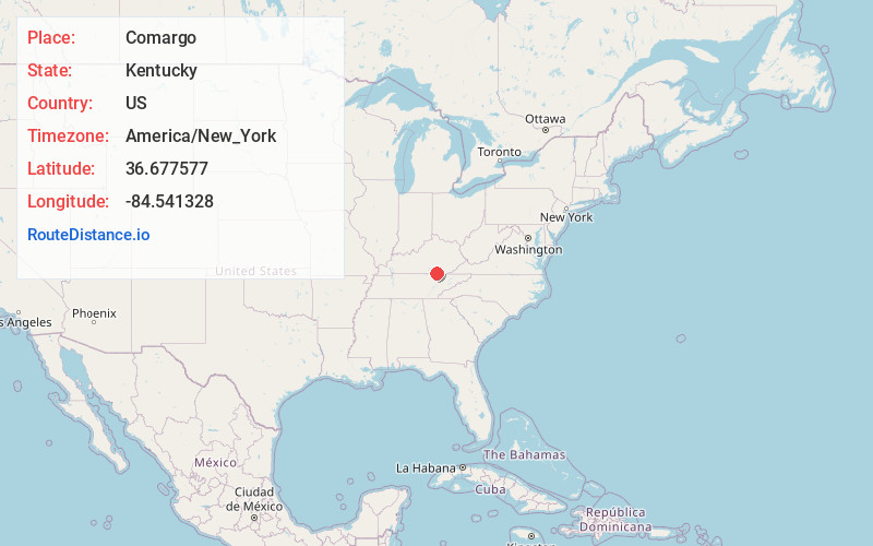
Full AddressComargo, KY 42647
-
Coordinates36.6775773, -84.5413281
-
LocationKentucky , US
-
TimezoneAmerica/New_York
-
Current Local Time11:44:43 PM America/New_YorkSunday, May 25, 2025
-
Page Views0
About Comargo
Comargo is an unincorporated community in McCreary County, Kentucky, United States.
Nearby Places
Found 10 places within 50 miles

Barthell
1.1 mi
1.8 km
Barthell, KY 42649
Get directions
Oz
2.5 mi
4.0 km
Oz, KY 42647
Get directions
Smith Town
2.7 mi
4.3 km
Smith Town, KY 42647
Get directions
Yamacraw
2.7 mi
4.3 km
Yamacraw, KY 42647
Get directions
Co-Operative
3.8 mi
6.1 km
Co-Operative, KY 42647
Get directions
Stearns
3.8 mi
6.1 km
Stearns, KY
Get directions
Fidelity
3.9 mi
6.3 km
Fidelity, KY 42647
Get directions

Whitley City
5.0 mi
8.0 km
Whitley City, KY 42653
Get directions
Marshes Siding
5.7 mi
9.2 km
Marshes Siding, KY 42653
Get directions

Pine Knot
6.0 mi
9.7 km
Pine Knot, KY
Get directions
Location Links
Local Weather
Weather Information
Coming soon!
Location Map
Static map view of Comargo, Kentucky
Browse Places by Distance
Places within specific distances from Comargo
Short Distances
Long Distances
Click any distance to see all places within that range from Comargo. Distances shown in miles (1 mile ≈ 1.61 kilometers).