Distance to Conejos, Colorado

Calculating Your Route
Just a moment while we process your request...
Location Information
-
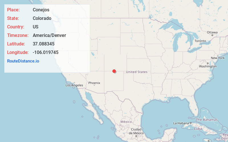
Full AddressConejos, CO 81120
-
Coordinates37.0883453, -106.0197445
-
LocationConejos , Colorado , US
-
TimezoneAmerica/Denver
-
Current Local Time7:52:28 AM America/DenverWednesday, June 18, 2025
-
Page Views0
About Conejos
Conejos is an unincorporated town, a post office, a census-designated place, and the county seat of Conejos County, Colorado, United States. The Conejos post office has the ZIP Code 81129. At the United States Census 2020, the population of the Conejos CDP was 46.

Nearby Places
Found 10 places within 50 miles

Antonito
0.9 mi
1.4 km
Antonito, CO 81120
Get directions

Romeo
6.1 mi
9.8 km
Romeo, CO
Get directions

Manassa
7.5 mi
12.1 km
Manassa, CO
Get directions

La Jara
13.3 mi
21.4 km
La Jara, CO 81140
Get directions
Sanford
13.3 mi
21.4 km
Sanford, CO 81151
Get directions

Capulin
14.4 mi
23.2 km
Capulin, CO
Get directions

San Acacio
26.5 mi
42.6 km
San Acacio, CO 81151
Get directions

Alamosa
27.6 mi
44.4 km
Alamosa, CO 81101
Get directions
Alamosa East
28.0 mi
45.1 km
Alamosa East, CO 81101
Get directions

Costilla
28.1 mi
45.2 km
Costilla, NM
Get directions
Location Links
Local Weather
Weather Information
Coming soon!
Location Map
Static map view of Conejos, Colorado
Browse Places by Distance
Places within specific distances from Conejos
Short Distances
Long Distances
Click any distance to see all places within that range from Conejos. Distances shown in miles (1 mile ≈ 1.61 kilometers).