Distance to Congress, Arizona

Calculating Your Route
Just a moment while we process your request...
Location Information
-
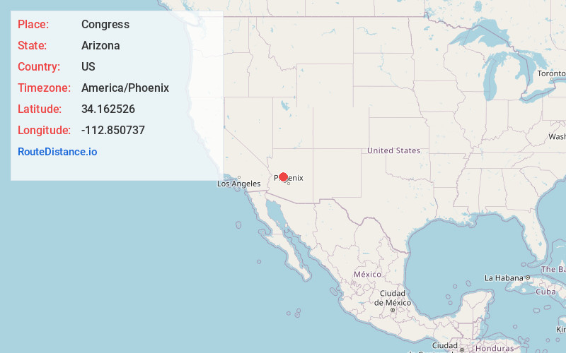
Full AddressCongress, AZ 85332
-
Coordinates34.162526, -112.8507374
-
LocationCongress , Arizona , US
-
TimezoneAmerica/Phoenix
-
Current Local Time5:32:06 PM America/PhoenixSaturday, May 31, 2025
-
Page Views0
About Congress
Congress is a census-designated place in Yavapai County, Arizona, United States. Once a gold-mining center for the Congress Mine and then a ghost town, Congress now serves as a retirement and bedroom community for nearby Wickenburg. The population was 1,811 at the 2020 census.


Nearby Places
Found 10 places within 50 miles

Wickenburg
15.0 mi
24.1 km
Wickenburg, AZ 85390
Get directions

Bagdad
33.9 mi
54.6 km
Bagdad, AZ 86321
Get directions

Prescott
34.0 mi
54.7 km
Prescott, AZ
Get directions

Williamson
40.5 mi
65.2 km
Williamson, AZ
Get directions

Black Canyon City
41.7 mi
67.1 km
Black Canyon City, AZ 85324
Get directions

Dewey-Humboldt
42.0 mi
67.6 km
Dewey-Humboldt, AZ
Get directions

Prescott Valley
43.4 mi
69.8 km
Prescott Valley, AZ
Get directions

Cordes Lakes
43.9 mi
70.7 km
Cordes Lakes, AZ 86333
Get directions

New River
44.3 mi
71.3 km
New River, AZ
Get directions

Sun City West
45.3 mi
72.9 km
Sun City West, AZ 85375
Get directions
Location Links
Local Weather
Weather Information
Coming soon!
Location Map
Static map view of Congress, Arizona
Browse Places by Distance
Places within specific distances from Congress
Short Distances
Long Distances
Click any distance to see all places within that range from Congress. Distances shown in miles (1 mile ≈ 1.61 kilometers).