Distance to Conley, Georgia

Calculating Your Route
Just a moment while we process your request...
Location Information
-
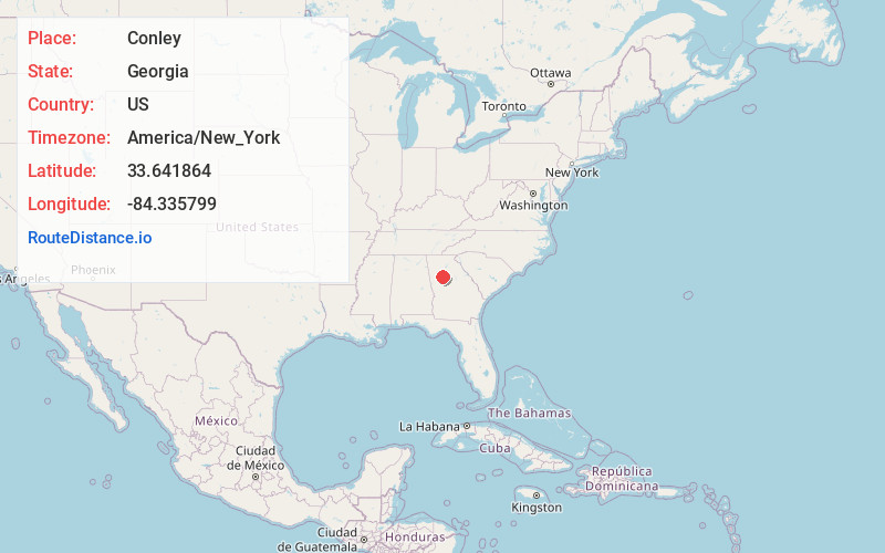
Full AddressConley, GA
-
Coordinates33.6418635, -84.3357992
-
LocationConley , Georgia , US
-
TimezoneAmerica/New_York
-
Current Local Time2:46:18 AM America/New_YorkFriday, June 20, 2025
-
Page Views0
About Conley
Conley is an unincorporated community and census-designated place in Clayton County and DeKalb County, Georgia United States. It is at Atlanta's southeast corner, 7.98 miles from downtown. The population was 6,680 at the 2020 census. It is part of the Atlanta metropolitan area.


Nearby Places
Found 10 places within 50 miles

Forest Park
2.4 mi
3.9 km
Forest Park, GA
Get directions

Morrow
4.1 mi
6.6 km
Morrow, GA
Get directions

Gresham Park
4.4 mi
7.1 km
Gresham Park, GA
Get directions

Hapeville
4.5 mi
7.2 km
Hapeville, GA
Get directions
Panthersville
5.8 mi
9.3 km
Panthersville, GA 30034
Get directions

East Point
6.5 mi
10.5 km
East Point, GA
Get directions

Riverdale
6.5 mi
10.5 km
Riverdale, GA
Get directions

College Park
6.6 mi
10.6 km
College Park, GA
Get directions
Candler-McAfee
6.7 mi
10.8 km
Candler-McAfee, GA 30032
Get directions

Atlanta
8.1 mi
13.0 km
Atlanta, GA
Get directions
Location Links
Local Weather
Weather Information
Coming soon!
Location Map
Static map view of Conley, Georgia
Browse Places by Distance
Places within specific distances from Conley
Short Distances
Long Distances
Click any distance to see all places within that range from Conley. Distances shown in miles (1 mile ≈ 1.61 kilometers).