Distance to Conotton, Ohio

Calculating Your Route
Just a moment while we process your request...
Location Information
-
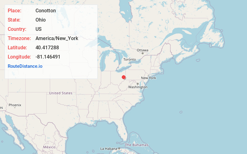
Full AddressConotton, OH 43988
-
Coordinates40.4172875, -81.1464907
-
LocationConotton , Ohio , US
-
TimezoneAmerica/New_York
-
Current Local Time6:46:44 AM America/New_YorkTuesday, June 17, 2025
-
Page Views0
About Conotton
Conotton is an unincorporated community in North Township, Harrison County, Ohio, United States. The community is serviced by the Bowerston post office, ZIP Code 44695. It is located near Conotton Creek, State Route 151 and the Wheeling and Lake Erie Railway.
Nearby Places
Found 10 places within 50 miles

Bowerston
2.2 mi
3.5 km
Bowerston, OH 44695
Get directions
Scio
3.6 mi
5.8 km
Scio, OH
Get directions
Leesville
4.2 mi
6.8 km
Leesville, OH 44695
Get directions
Station 15
6.3 mi
10.1 km
Station 15, Monroe Township, OH 44621
Get directions
Leavittsville
7.2 mi
11.6 km
Leavittsville, Monroe Township, OH 44695
Get directions
Sherrodsville
7.4 mi
11.9 km
Sherrodsville, OH 44675
Get directions

Deersville
7.9 mi
12.7 km
Deersville, OH
Get directions
Jewett
8.2 mi
13.2 km
Jewett, OH 43986
Get directions
Tabor
9.4 mi
15.1 km
Tabor, Monroe Township, OH 44615
Get directions
Dennison
9.4 mi
15.1 km
Dennison, OH 44621
Get directions
Location Links
Local Weather
Weather Information
Coming soon!
Location Map
Static map view of Conotton, Ohio
Browse Places by Distance
Places within specific distances from Conotton
Short Distances
Long Distances
Click any distance to see all places within that range from Conotton. Distances shown in miles (1 mile ≈ 1.61 kilometers).