Distance to Leavittsville, Ohio

Calculating Your Route
Just a moment while we process your request...
Location Information
-
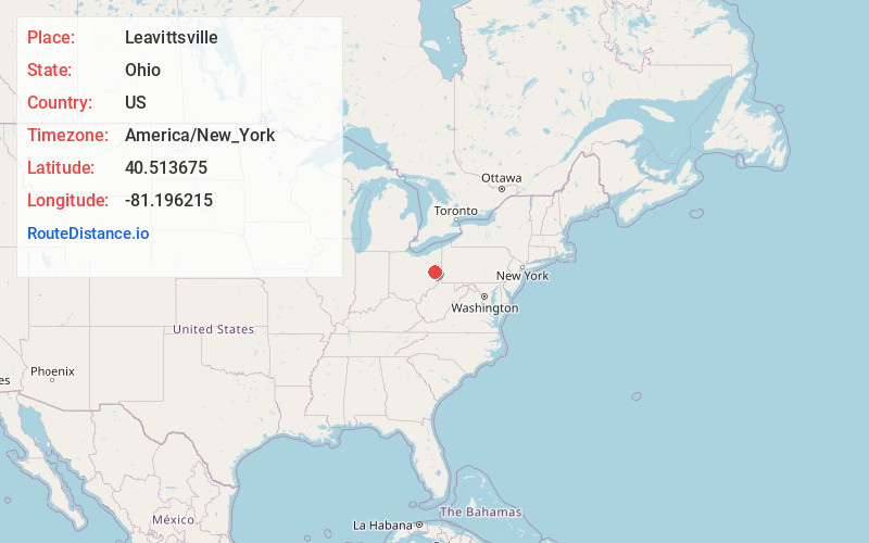
Full AddressLeavittsville, Monroe Township, OH 44695
-
Coordinates40.5136753, -81.1962151
-
LocationMonroe Township , Ohio , US
-
TimezoneAmerica/New_York
-
Current Local Time12:38:55 AM America/New_YorkTuesday, June 3, 2025
-
Page Views0
About Leavittsville
Leavittsville is an unincorporated community in Monroe Township, Carroll County, Ohio, United States. The community is part of the Canton–Massillon Metropolitan Statistical Area. The community is served by the Sherrodsville post office, ZIP code 44675.
Nearby Places
Found 10 places within 50 miles

Sherrodsville
2.8 mi
4.5 km
Sherrodsville, OH 44675
Get directions

Dellroy
2.8 mi
4.5 km
Dellroy, OH
Get directions
Tabor
3.6 mi
5.8 km
Tabor, Monroe Township, OH 44615
Get directions
Leesville
4.4 mi
7.1 km
Leesville, OH 44695
Get directions
Bowerston
6.1 mi
9.8 km
Bowerston, OH 44695
Get directions

Carrollton
7.1 mi
11.4 km
Carrollton, OH 44615
Get directions
Roswell
8.5 mi
13.7 km
Roswell, OH 44663
Get directions
Scio
10.0 mi
16.1 km
Scio, OH
Get directions
Barnhill
10.1 mi
16.3 km
Barnhill, OH
Get directions
Eastport
10.2 mi
16.4 km
Eastport, OH 44621
Get directions
Location Links
Local Weather
Weather Information
Coming soon!
Location Map
Static map view of Leavittsville, Ohio
Browse Places by Distance
Places within specific distances from Leavittsville
Short Distances
Long Distances
Click any distance to see all places within that range from Leavittsville. Distances shown in miles (1 mile ≈ 1.61 kilometers).