Distance to Coodys Bluff, Oklahoma

Calculating Your Route
Just a moment while we process your request...
Location Information
-
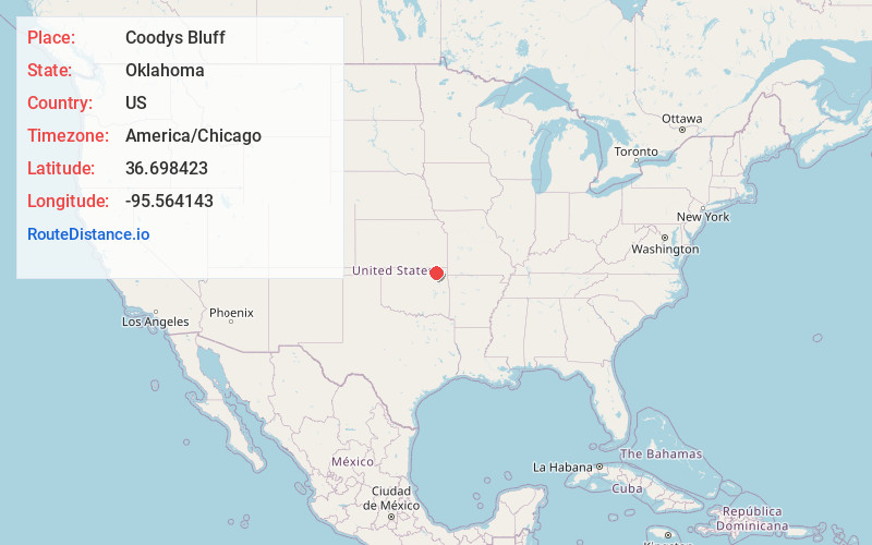
Full AddressCoodys Bluff, OK 74048
-
Coordinates36.6984226, -95.5641434
-
LocationCoodys Bluff , Oklahoma , US
-
TimezoneAmerica/Chicago
-
Current Local Time6:49:42 AM America/ChicagoThursday, June 5, 2025
-
Page Views0

Nearby Places
Found 10 places within 50 miles

Nowata
4.1 mi
6.6 km
Nowata, OK 74048
Get directions

Childers
5.2 mi
8.4 km
Childers, OK 74048
Get directions

Delaware
6.9 mi
11.1 km
Delaware, OK 74027
Get directions

New Alluwe
7.4 mi
11.9 km
New Alluwe, OK 74016
Get directions

Watova
7.4 mi
11.9 km
Watova, OK 74080
Get directions

Jamestown
9.6 mi
15.4 km
Jamestown, OK 74080
Get directions
Sanders
10.2 mi
16.4 km
Sanders, OK 74301
Get directions

Lenapah
11.2 mi
18.0 km
Lenapah, OK 74042
Get directions
Bowlin Spring
11.7 mi
18.8 km
Bowlin Spring, OK 74016
Get directions
Ruthdale
12.5 mi
20.1 km
Ruthdale, OK 74027
Get directions
Location Links
Local Weather
Weather Information
Coming soon!
Location Map
Static map view of Coodys Bluff, Oklahoma
Browse Places by Distance
Places within specific distances from Coodys Bluff
Short Distances
Long Distances
Click any distance to see all places within that range from Coodys Bluff. Distances shown in miles (1 mile ≈ 1.61 kilometers).