Distance to Coosawhatchie, South Carolina

Calculating Your Route
Just a moment while we process your request...
Location Information
-
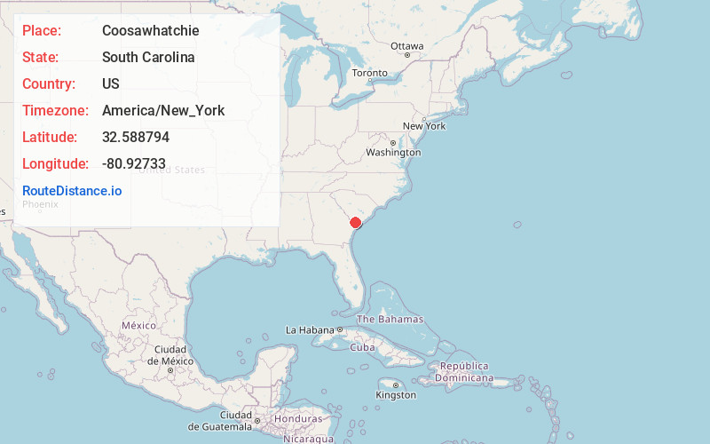
Full AddressCoosawhatchie, SC
-
Coordinates32.5887936, -80.9273299
-
LocationCoosawhatchie , South Carolina , US
-
TimezoneAmerica/New_York
-
Current Local Time2:31:12 PM America/New_YorkWednesday, May 21, 2025
-
Page Views0
About Coosawhatchie
Coosawhatchie is an unincorporated community and census-designated place located in Jasper County, South Carolina, United States at the northern head of the Broad River. It served as the headquarters for General Robert E. Lee during the early part of the American Civil War.

Nearby Places
Found 10 places within 50 miles

Sheldon
7.9 mi
12.7 km
Sheldon, SC
Get directions

Ridgeland
8.1 mi
13.0 km
Ridgeland, SC 29936
Get directions

Yemassee
8.2 mi
13.2 km
Yemassee, SC
Get directions

Seabrook
10.3 mi
16.6 km
Seabrook, SC
Get directions
Lobeco
11.0 mi
17.7 km
Lobeco, SC 29940
Get directions

Laurel Bay
12.0 mi
19.3 km
Laurel Bay, SC 29906
Get directions
Dale
14.0 mi
22.5 km
Dale, SC 29940
Get directions
Burton
15.9 mi
25.6 km
Burton, SC
Get directions
Furman
16.5 mi
26.6 km
Furman, SC
Get directions

Shell Point
18.2 mi
29.3 km
Shell Point, SC
Get directions
Location Links
Local Weather
Weather Information
Coming soon!
Location Map
Static map view of Coosawhatchie, South Carolina
Browse Places by Distance
Places within specific distances from Coosawhatchie
Short Distances
Long Distances
Click any distance to see all places within that range from Coosawhatchie. Distances shown in miles (1 mile ≈ 1.61 kilometers).