Distance to Copeland, North Carolina

Calculating Your Route
Just a moment while we process your request...
Location Information
-
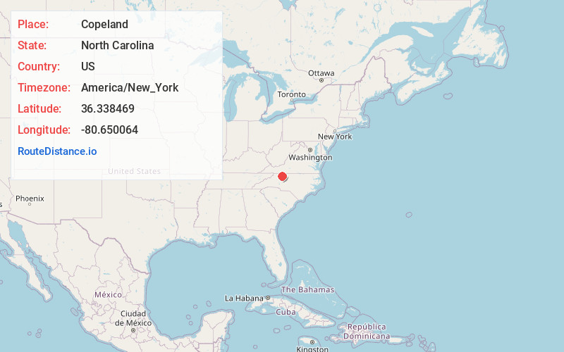
Full AddressCopeland, NC 27017
-
Coordinates36.3384691, -80.6500639
-
LocationCopeland , North Carolina , US
-
TimezoneAmerica/New_York
-
Current Local Time4:35:05 PM America/New_YorkWednesday, June 18, 2025
-
Page Views1
About Copeland
Copeland is an unincorporated community in the Rockford Township of Surry County, North Carolina, United States.
Nearby Places
Found 10 places within 50 miles

Stony Knoll
2.3 mi
3.7 km
Stony Knoll, NC 27017
Get directions
Pine Hill
3.4 mi
5.5 km
Pine Hill, NC 27007
Get directions
Turkey Ford
3.5 mi
5.6 km
Turkey Ford, NC 27030
Get directions

Rockford
4.8 mi
7.7 km
Rockford, NC 27017
Get directions

Dobson
5.6 mi
9.0 km
Dobson, NC
Get directions
Ash Hill
5.7 mi
9.2 km
Ash Hill, NC 27007
Get directions
Siloam
6.1 mi
9.8 km
Siloam, NC 27047
Get directions
Ararat
6.7 mi
10.8 km
Ararat, NC 27007
Get directions
Richmond Hill
6.8 mi
10.9 km
Richmond Hill, NC 27011
Get directions
White Plains
7.5 mi
12.1 km
White Plains, NC 27030
Get directions
Location Links
Local Weather
Weather Information
Coming soon!
Location Map
Static map view of Copeland, North Carolina
Browse Places by Distance
Places within specific distances from Copeland
Short Distances
Long Distances
Click any distance to see all places within that range from Copeland. Distances shown in miles (1 mile ≈ 1.61 kilometers).