Distance to Copper, Oregon

Calculating Your Route
Just a moment while we process your request...
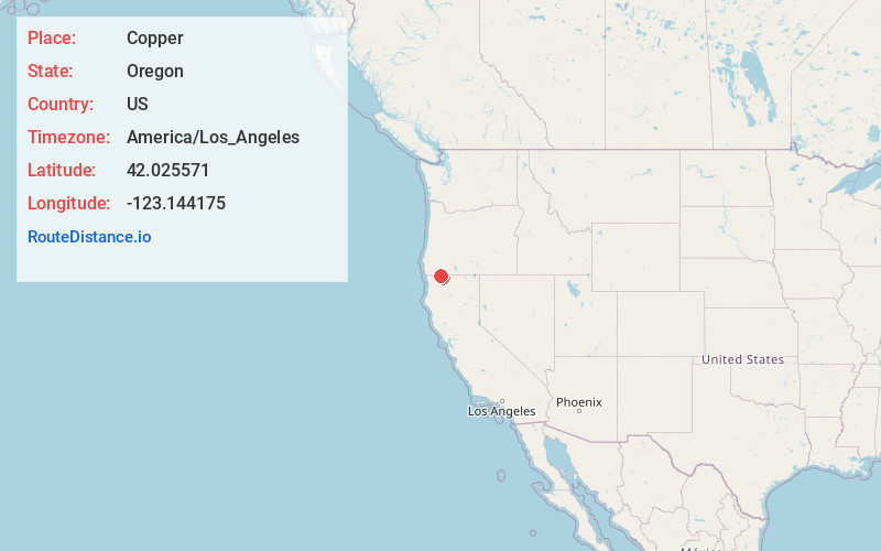
Location Information
-
Full AddressCopper, OR 97530
-
Coordinates42.025571, -123.1441749
-
LocationCopper , Oregon , US
-
TimezoneAmerica/Los_Angeles
-
Current Local Time9:17:32 AM America/Los_AngelesSunday, May 25, 2025
-
Page Views0
About Copper
Copper is a former community in Jackson County, Oregon, United States. Copper was located about 1 mile north of the Oregon–California border, near the mouth of Carberry Creek. Copper was named for the copper mining in the region, including at the Blue Ledge mine just over the state line in California.
Nearby Places
Found 10 places within 50 miles

McKee Bridge
7.9 mi
12.7 km
McKee Bridge, OR 97530
Get directions

Fort Goff
12.7 mi
20.4 km
Fort Goff, CA 96086
Get directions

Buncom
12.7 mi
20.4 km
Buncom, OR 97530
Get directions

Seiad Valley
13.0 mi
20.9 km
Seiad Valley, CA 96086
Get directions

Williams
14.9 mi
24.0 km
Williams, OR 97544
Get directions
Ruch
15.6 mi
25.1 km
Ruch, OR 97530
Get directions

Hamburg
17.3 mi
27.8 km
Hamburg, CA 96050
Get directions

Provolt
18.6 mi
29.9 km
Provolt, OR 97527
Get directions

Happy Camp
20.1 mi
32.3 km
Happy Camp, CA 96039
Get directions

Scott Bar
20.8 mi
33.5 km
Scott Bar, CA 96085
Get directions
Location Links
Local Weather
Weather Information
Coming soon!
Location Map
Static map view of Copper, Oregon
Browse Places by Distance
Places within specific distances from Copper
Short Distances
Long Distances
Click any distance to see all places within that range from Copper. Distances shown in miles (1 mile ≈ 1.61 kilometers).