Distance to and from McKee Bridge, Oregon
McKee Bridge, OR 97530
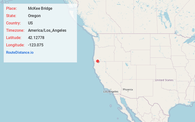
McKee Bridge
Oregon
US
America/Los_Angeles
Location Information
-
Full AddressMcKee Bridge, OR 97530
-
Coordinates42.12778, -123.075
-
LocationMcKee Bridge , Oregon , US
-
TimezoneAmerica/Los_Angeles
-
Current Local Time2:47:48 AM America/Los_AngelesSunday, May 11, 2025
-
Page Views0
Directions to Nearest Cities
About McKee Bridge
McKee Bridge is an unincorporated community in Jackson County, Oregon, United States. It lies south of Ruch along Upper Applegate Road off Oregon Route 238. The Applegate River flows by the community, in the Rogue River – Siskiyou National Forest.
A covered bridge called McKee Bridge crosses the river at this point.


Nearby Places
Found 10 places within 50 miles

Buncom
5.1 mi
8.2 km
Buncom, OR 97530
Get directions

Ruch
7.8 mi
12.6 km
Ruch, OR 97530
Get directions

Williams
12.0 mi
19.3 km
Williams, OR 97544
Get directions

Provolt
13.6 mi
21.9 km
Provolt, OR 97527
Get directions

Jacksonville
14.0 mi
22.5 km
Jacksonville, OR 97530
Get directions

Phoenix
16.6 mi
26.7 km
Phoenix, OR
Get directions

Talent
16.8 mi
27.0 km
Talent, OR 97540
Get directions

Medford
16.9 mi
27.2 km
Medford, OR
Get directions

Central Point
19.0 mi
30.6 km
Central Point, OR
Get directions

Ashland
19.3 mi
31.1 km
Ashland, OR 97520
Get directions
Buncom
5.1 mi
8.2 km
Buncom, OR 97530
Ruch
7.8 mi
12.6 km
Ruch, OR 97530
Williams
12.0 mi
19.3 km
Williams, OR 97544
Provolt
13.6 mi
21.9 km
Provolt, OR 97527
Jacksonville
14.0 mi
22.5 km
Jacksonville, OR 97530
Phoenix
16.6 mi
26.7 km
Phoenix, OR
Talent
16.8 mi
27.0 km
Talent, OR 97540
Medford
16.9 mi
27.2 km
Medford, OR
Central Point
19.0 mi
30.6 km
Central Point, OR
Ashland
19.3 mi
31.1 km
Ashland, OR 97520
Location Links
Local Weather
Weather Information
Coming soon!
Location Map
Static map view of McKee Bridge, Oregon
Browse Places by Distance
Places within specific distances from McKee Bridge
Short Distances
Long Distances
Click any distance to see all places within that range from McKee Bridge. Distances shown in miles (1 mile ≈ 1.61 kilometers).