Distance to Cordes, Arizona

Calculating Your Route
Just a moment while we process your request...
Location Information
-
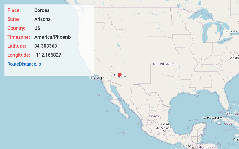
Full AddressCordes, AZ 86333
-
Coordinates34.3033628, -112.1668266
-
LocationArizona , US
-
TimezoneAmerica/Phoenix
-
Current Local Time2:21:36 PM America/PhoenixThursday, June 19, 2025
-
Page Views0
About Cordes
Cordes is a ghost town located eight miles southeast of the area of Mayer in Yavapai County, Arizona, United States. Cordes was established in 1883 by John Henry Cordes.
The town was originally destined to be called Antelope Junction; however, Cordes' application for a post office in that name was denied in 1883.
Nearby Places
Found 10 places within 50 miles

Spring Valley
3.3 mi
5.3 km
Spring Valley, AZ 86333
Get directions

Cordes Lakes
3.6 mi
5.8 km
Cordes Lakes, AZ 86333
Get directions

Mayer
7.6 mi
12.2 km
Mayer, AZ 86333
Get directions

Bumble Bee Creek
7.9 mi
12.7 km
Bumble Bee Creek, Arizona 85324
Get directions

Dugas
11.5 mi
18.5 km
Dugas, AZ 86333
Get directions

Crown King
11.9 mi
19.2 km
Crown King, AZ 86343
Get directions
Wild Flower Saddle
12.0 mi
19.3 km
Wild Flower Saddle, Arizona 86343
Get directions

Grapevine Creek
12.3 mi
19.8 km
Grapevine Creek, Arizona 86333
Get directions
Goodwin
12.7 mi
20.4 km
Goodwin, AZ 86332
Get directions

Dewey-Humboldt
14.6 mi
23.5 km
Dewey-Humboldt, AZ
Get directions
Location Links
Local Weather
Weather Information
Coming soon!
Location Map
Static map view of Cordes, Arizona
Browse Places by Distance
Places within specific distances from Cordes
Short Distances
Long Distances
Click any distance to see all places within that range from Cordes. Distances shown in miles (1 mile ≈ 1.61 kilometers).