Distance to Crown King, Arizona

Calculating Your Route
Just a moment while we process your request...
Location Information
-
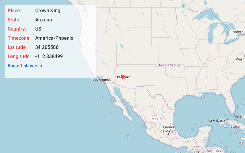
Full AddressCrown King, AZ 86343
-
Coordinates34.2055857, -112.3384991
-
LocationCrown King , Arizona , US
-
TimezoneAmerica/Phoenix
-
Current Local Time1:08:18 PM America/PhoenixWednesday, June 18, 2025
-
Page Views0
About Crown King
Crown King is an unincorporated community in Yavapai County, Arizona, United States. Crown King has a ZIP Code of 86343; in 2000, the population of the 86343 ZCTA was 133. The site of a former gold mining town, Crown King is 28 miles west of Interstate 17 on Senator Highway, high in the Bradshaw Mountains.


Nearby Places
Found 10 places within 50 miles

Lapham
4.0 mi
6.4 km
Lapham, AZ 86343
Get directions
Fort Misery
4.8 mi
7.7 km
Fort Misery, AZ 86343
Get directions
Burro John
5.4 mi
8.7 km
Burro John, AZ 86343
Get directions
Lehman Mill
10.4 mi
16.7 km
Lehman Mill, AZ 85342
Get directions
Humbug
10.5 mi
16.9 km
Humbug, AZ 85342
Get directions
Goodwin
10.6 mi
17.1 km
Goodwin, AZ 86332
Get directions
Wagoner
11.3 mi
18.2 km
Wagoner, AZ 86332
Get directions

Copperopolis Mine
11.3 mi
18.2 km
Copperopolis Mine, Arizona 85342
Get directions
Walnut Grove
13.1 mi
21.1 km
Walnut Grove, AZ 86332
Get directions

Spring Valley
14.3 mi
23.0 km
Spring Valley, AZ 86333
Get directions
Location Links
Local Weather
Weather Information
Coming soon!
Location Map
Static map view of Crown King, Arizona
Browse Places by Distance
Places within specific distances from Crown King
Short Distances
Long Distances
Click any distance to see all places within that range from Crown King. Distances shown in miles (1 mile ≈ 1.61 kilometers).