Distance to Wagoner, Arizona

Calculating Your Route
Just a moment while we process your request...
Location Information
-
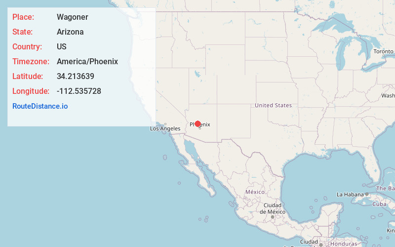
Full AddressWagoner, AZ 86332
-
Coordinates34.2136392, -112.5357279
-
LocationArizona , US
-
TimezoneAmerica/Phoenix
-
Current Local Time7:33:11 PM America/PhoenixWednesday, June 18, 2025
-
Page Views0
Nearby Places
Found 10 places within 50 miles

Lapham
8.0 mi
12.9 km
Lapham, AZ 86343
Get directions

Yarnell
12.1 mi
19.5 km
Yarnell, AZ
Get directions

Peeples Valley
13.3 mi
21.4 km
Peeples Valley, AZ
Get directions

Wilhoit
15.0 mi
24.1 km
Wilhoit, AZ 86332
Get directions

Congress
18.3 mi
29.5 km
Congress, AZ 85332
Get directions

Wickenburg
20.2 mi
32.5 km
Wickenburg, AZ 85390
Get directions

Mayer
21.3 mi
34.3 km
Mayer, AZ 86333
Get directions

Prescott
22.8 mi
36.7 km
Prescott, AZ
Get directions

Spring Valley
23.5 mi
37.8 km
Spring Valley, AZ 86333
Get directions

Black Canyon City
25.1 mi
40.4 km
Black Canyon City, AZ 85324
Get directions
Location Links
Local Weather
Weather Information
Coming soon!
Location Map
Static map view of Wagoner, Arizona
Browse Places by Distance
Places within specific distances from Wagoner
Short Distances
Long Distances
Click any distance to see all places within that range from Wagoner. Distances shown in miles (1 mile ≈ 1.61 kilometers).