Distance to Yarnell, Arizona

Calculating Your Route
Just a moment while we process your request...
Location Information
-
Full AddressYarnell, AZ
-
Coordinates34.2216927, -112.7474007
-
LocationYarnell , Arizona , US
-
TimezoneAmerica/Phoenix
-
Current Local Time12:47:08 AM America/PhoenixFriday, June 20, 2025
-
Page Views0
About Yarnell
Yarnell is a census-designated place in Yavapai County, Arizona, United States. The population of Yarnell was 649 at the 2010 census. Yarnell's economy is based on ranching, mining and services to travelers and retirees. Peeples Valley, three miles north, is closely linked to Yarnell.


Nearby Places
Found 10 places within 50 miles

Peeples Valley
4.1 mi
6.6 km
Peeples Valley, AZ
Get directions

Congress
7.2 mi
11.6 km
Congress, AZ 85332
Get directions

Wilhoit
16.8 mi
27.0 km
Wilhoit, AZ 86332
Get directions

Wickenburg
17.4 mi
28.0 km
Wickenburg, AZ 85390
Get directions

Prescott
27.1 mi
43.6 km
Prescott, AZ
Get directions

Mayer
31.6 mi
50.9 km
Mayer, AZ 86333
Get directions

Williamson
34.4 mi
55.4 km
Williamson, AZ
Get directions

Bagdad
34.5 mi
55.5 km
Bagdad, AZ 86321
Get directions

Spring Valley
34.7 mi
55.8 km
Spring Valley, AZ 86333
Get directions

Dewey-Humboldt
34.8 mi
56.0 km
Dewey-Humboldt, AZ
Get directions
Location Links
Local Weather
Weather Information
Coming soon!
Location Map
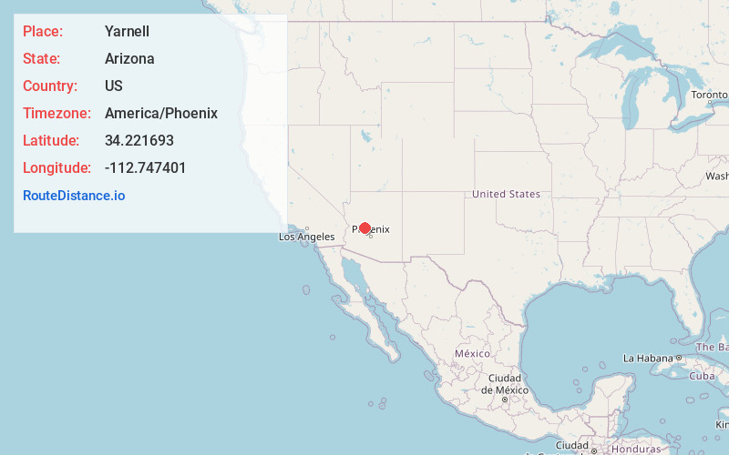
Static map view of Yarnell, Arizona
Browse Places by Distance
Places within specific distances from Yarnell
Short Distances
Long Distances
Click any distance to see all places within that range from Yarnell. Distances shown in miles (1 mile ≈ 1.61 kilometers).