Distance to Wilhoit, Arizona

Calculating Your Route
Just a moment while we process your request...
Location Information
-
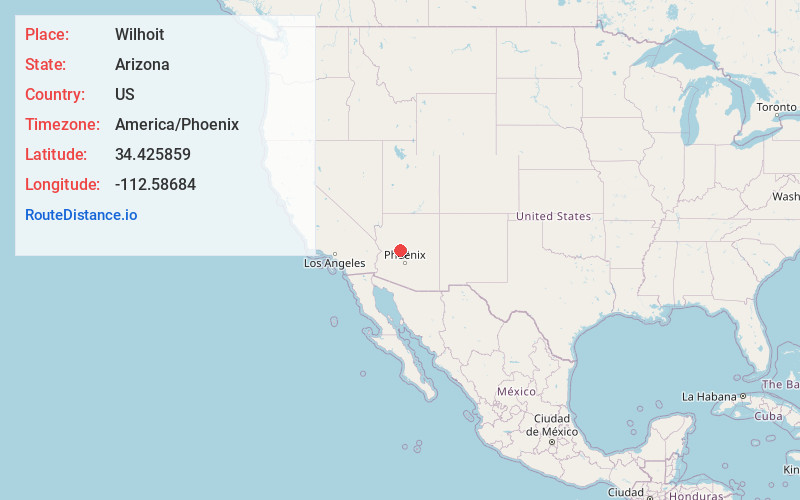
Full AddressWilhoit, AZ 86332
-
Coordinates34.4258586, -112.5868398
-
LocationWilhoit , Arizona , US
-
TimezoneAmerica/Phoenix
-
Current Local Time2:33:04 AM America/PhoenixWednesday, June 18, 2025
-
Page Views0
About Wilhoit
Wilhoit is a census-designated place in Yavapai County, Arizona, United States. The population was 664 at the 2000 census.


Nearby Places
Found 10 places within 50 miles

Prescott
10.4 mi
16.7 km
Prescott, AZ
Get directions

Williamson
18.4 mi
29.6 km
Williamson, AZ
Get directions

Prescott Valley
20.0 mi
32.2 km
Prescott Valley, AZ
Get directions

Dewey-Humboldt
20.4 mi
32.8 km
Dewey-Humboldt, AZ
Get directions

Congress
23.6 mi
38.0 km
Congress, AZ 85332
Get directions

Chino Valley
24.1 mi
38.8 km
Chino Valley, AZ
Get directions

Spring Valley
24.9 mi
40.1 km
Spring Valley, AZ 86333
Get directions

Cordes Lakes
28.6 mi
46.0 km
Cordes Lakes, AZ 86333
Get directions

Paulden
32.5 mi
52.3 km
Paulden, AZ
Get directions

Wickenburg
32.6 mi
52.5 km
Wickenburg, AZ 85390
Get directions
Location Links
Local Weather
Weather Information
Coming soon!
Location Map
Static map view of Wilhoit, Arizona
Browse Places by Distance
Places within specific distances from Wilhoit
Short Distances
Long Distances
Click any distance to see all places within that range from Wilhoit. Distances shown in miles (1 mile ≈ 1.61 kilometers).