Distance to Walnut Grove, Arizona

Calculating Your Route
Just a moment while we process your request...
Location Information
-
Full AddressWalnut Grove, AZ 86332
-
Coordinates34.2830827, -112.5485058
-
LocationArizona , US
-
TimezoneAmerica/Phoenix
-
Current Local Time8:20:17 PM America/PhoenixThursday, June 19, 2025
-
Page Views0
Nearby Places
Found 10 places within 50 miles

Wagoner
4.9 mi
7.9 km
Wagoner, AZ 86332
Get directions

Wilhoit
10.1 mi
16.3 km
Wilhoit, AZ 86332
Get directions
Goodwin
10.9 mi
17.5 km
Goodwin, AZ 86332
Get directions
Lapham
11.0 mi
17.7 km
Lapham, AZ 86343
Get directions

Peeples Valley
11.8 mi
19.0 km
Peeples Valley, AZ
Get directions

Yarnell
12.1 mi
19.5 km
Yarnell, AZ
Get directions
Octave
12.7 mi
20.4 km
Octave, AZ 85332
Get directions

Potato Patch
12.8 mi
20.6 km
Potato Patch, AZ 86303
Get directions

Copperopolis Mine
14.9 mi
24.0 km
Copperopolis Mine, Arizona 85342
Get directions

Grapevine Creek
16.1 mi
25.9 km
Grapevine Creek, Arizona 86333
Get directions
Location Links
Local Weather
Weather Information
Coming soon!
Location Map
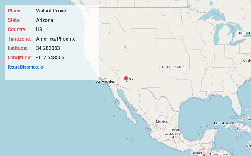
Static map view of Walnut Grove, Arizona
Browse Places by Distance
Places within specific distances from Walnut Grove
Short Distances
Long Distances
Click any distance to see all places within that range from Walnut Grove. Distances shown in miles (1 mile ≈ 1.61 kilometers).