Distance to Octave, Arizona

Calculating Your Route
Just a moment while we process your request...
Location Information
-
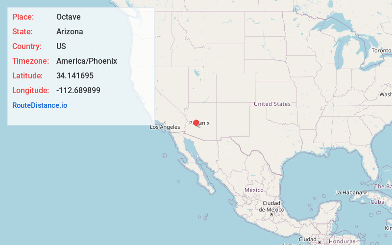
Full AddressOctave, AZ 85332
-
Coordinates34.1416945, -112.6898991
-
LocationOctave , Arizona , US
-
TimezoneAmerica/Phoenix
-
Current Local Time8:58:53 AM America/PhoenixThursday, June 19, 2025
-
Page Views0
About Octave
Octave is a ghost town in Yavapai County, Arizona, United States.
Nearby Places
Found 10 places within 50 miles

Yarnell
6.4 mi
10.3 km
Yarnell, AZ
Get directions

Congress
9.3 mi
15.0 km
Congress, AZ 85332
Get directions

Wagoner
10.1 mi
16.3 km
Wagoner, AZ 86332
Get directions

Peeples Valley
10.3 mi
16.6 km
Peeples Valley, AZ
Get directions

Wickenburg
12.1 mi
19.5 km
Wickenburg, AZ 85390
Get directions
Lapham
16.7 mi
26.9 km
Lapham, AZ 86343
Get directions

Morristown
20.2 mi
32.5 km
Morristown, AZ
Get directions

Wilhoit
20.5 mi
33.0 km
Wilhoit, AZ 86332
Get directions
Forepaugh Peak
23.9 mi
38.5 km
Forepaugh Peak, Arizona 85390
Get directions

Wittmann
26.9 mi
43.3 km
Wittmann, AZ 85361
Get directions
Location Links
Local Weather
Weather Information
Coming soon!
Location Map
Static map view of Octave, Arizona
Browse Places by Distance
Places within specific distances from Octave
Short Distances
Long Distances
Click any distance to see all places within that range from Octave. Distances shown in miles (1 mile ≈ 1.61 kilometers).