Distance to Morristown, Arizona

Calculating Your Route
Just a moment while we process your request...
Location Information
-
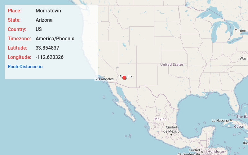
Full AddressMorristown, AZ
-
Coordinates33.8548374, -112.6203255
-
LocationMorristown , Arizona , US
-
TimezoneAmerica/Phoenix
-
Current Local Time4:41:38 PM America/PhoenixWednesday, July 2, 2025
-
Page Views0
About Morristown
Morristown is an unincorporated community and census-designated place in Maricopa County, Arizona, United States. It is 43 miles northwest of Phoenix, at the junction of State Route 74 and U.S. Route 60. As of the 2020 census, it had a population of 186, down from 227 in 2010.


Nearby Places
Found 10 places within 50 miles

Wittmann
7.6 mi
12.2 km
Wittmann, AZ 85361
Get directions

Wickenburg
10.1 mi
16.3 km
Wickenburg, AZ 85390
Get directions

Sun City West
20.8 mi
33.5 km
Sun City West, AZ 85375
Get directions

Surprise
21.3 mi
34.3 km
Surprise, AZ
Get directions

El Mirage
23.8 mi
38.3 km
El Mirage, AZ
Get directions

Citrus Park
24.2 mi
38.9 km
Citrus Park, AZ
Get directions

Congress
25.0 mi
40.2 km
Congress, AZ 85332
Get directions

Youngtown
25.6 mi
41.2 km
Youngtown, AZ 85363
Get directions

Yarnell
26.4 mi
42.5 km
Yarnell, AZ
Get directions

Sun City
26.8 mi
43.1 km
Sun City, AZ
Get directions
Location Links
Local Weather
Weather Information
Coming soon!
Location Map
Static map view of Morristown, Arizona
Browse Places by Distance
Places within specific distances from Morristown
Short Distances
Long Distances
Click any distance to see all places within that range from Morristown. Distances shown in miles (1 mile ≈ 1.61 kilometers).