Distance to Forepaugh Peak, Arizona

Calculating Your Route
Just a moment while we process your request...
Location Information
-
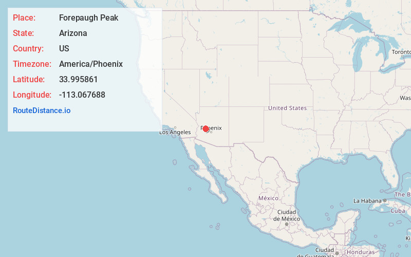
Full AddressForepaugh Peak, Arizona 85390
-
Coordinates33.9958608, -113.0676879
-
LocationArizona , US
-
TimezoneAmerica/Phoenix
-
Current Local Time12:43:40 PM America/PhoenixTuesday, June 24, 2025
-
Page Views0
Nearby Places
Found 10 places within 50 miles

Aguila
7.1 mi
11.4 km
Aguila, AZ 85320
Get directions

Congress
16.9 mi
27.2 km
Congress, AZ 85332
Get directions

Wickenburg
19.4 mi
31.2 km
Wickenburg, AZ 85390
Get directions

Yarnell
24.1 mi
38.8 km
Yarnell, AZ
Get directions

Peeples Valley
26.6 mi
42.8 km
Peeples Valley, AZ
Get directions

Morristown
27.4 mi
44.1 km
Morristown, AZ
Get directions

Wenden
29.7 mi
47.8 km
Wenden, AZ 85357
Get directions

Sunwest
30.4 mi
48.9 km
Sunwest, AZ 85348
Get directions

Alamo Lake
32.9 mi
52.9 km
Alamo Lake, AZ
Get directions
Wagoner
34.0 mi
54.7 km
Wagoner, AZ 86332
Get directions
Location Links
Local Weather
Weather Information
Coming soon!
Location Map
Static map view of Forepaugh Peak, Arizona
Browse Places by Distance
Places within specific distances from Forepaugh Peak
Short Distances
Long Distances
Click any distance to see all places within that range from Forepaugh Peak. Distances shown in miles (1 mile ≈ 1.61 kilometers).