Distance to and from Aguila, Arizona
Aguila, AZ 85320
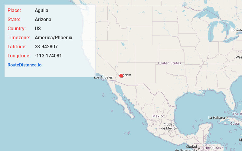
Aguila
Arizona
US
America/Phoenix
Location Information
-
Full AddressAguila, AZ 85320
-
Coordinates33.9428069, -113.1740805
-
LocationAguila , Arizona , US
-
TimezoneAmerica/Phoenix
-
Current Local Time1:53:16 PM America/PhoenixSaturday, May 3, 2025
-
Page Views0
Directions to Nearest Cities
About Aguila
Aguila is an unincorporated community and census-designated place in Maricopa County, Arizona, United States. It is located on U.S. Route 60, 25 miles west of Wickenburg and 22 miles northeast of Wenden. Major economic activities include cantaloupe farming and formerly included mining.


Nearby Places
Found 10 places within 50 miles

Wenden
22.7 mi
36.5 km
Wenden, AZ 85357
Get directions

Congress
23.9 mi
38.5 km
Congress, AZ 85332
Get directions

Wickenburg
25.5 mi
41.0 km
Wickenburg, AZ 85390
Get directions

Salome
27.6 mi
44.4 km
Salome, AZ
Get directions

Yarnell
31.1 mi
50.1 km
Yarnell, AZ
Get directions

Peeples Valley
33.5 mi
53.9 km
Peeples Valley, AZ
Get directions

Vicksburg
35.9 mi
57.8 km
Vicksburg, AZ
Get directions

Bagdad
43.5 mi
70.0 km
Bagdad, AZ 86321
Get directions

Wilhoit
47.3 mi
76.1 km
Wilhoit, AZ 86332
Get directions

Bouse
47.7 mi
76.8 km
Bouse, AZ 85325
Get directions
Wenden
22.7 mi
36.5 km
Wenden, AZ 85357
Congress
23.9 mi
38.5 km
Congress, AZ 85332
Wickenburg
25.5 mi
41.0 km
Wickenburg, AZ 85390
Salome
27.6 mi
44.4 km
Salome, AZ
Yarnell
31.1 mi
50.1 km
Yarnell, AZ
Peeples Valley
33.5 mi
53.9 km
Peeples Valley, AZ
Vicksburg
35.9 mi
57.8 km
Vicksburg, AZ
Bagdad
43.5 mi
70.0 km
Bagdad, AZ 86321
Wilhoit
47.3 mi
76.1 km
Wilhoit, AZ 86332
Bouse
47.7 mi
76.8 km
Bouse, AZ 85325
Location Links
Local Weather
Weather Information
Coming soon!
Location Map
Static map view of Aguila, Arizona
Browse Places by Distance
Places within specific distances from Aguila
Short Distances
Long Distances
Click any distance to see all places within that range from Aguila. Distances shown in miles (1 mile ≈ 1.61 kilometers).