Distance to Potato Patch, Arizona

Calculating Your Route
Just a moment while we process your request...
Location Information
-
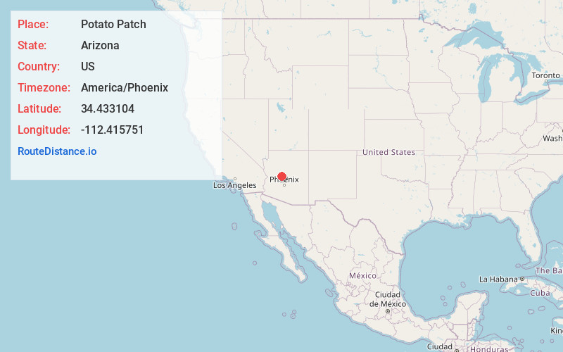
Full AddressPotato Patch, AZ 86303
-
Coordinates34.4331044, -112.415751
-
LocationPotato Patch , Arizona , US
-
TimezoneAmerica/Phoenix
-
Current Local Time5:51:10 AM America/PhoenixSunday, May 25, 2025
-
Page Views0
About Potato Patch
Potato Patch is a populated place in Yavapai County, Arizona, United States.

Nearby Places
Found 10 places within 50 miles

Grapevine Creek
5.2 mi
8.4 km
Grapevine Creek, Arizona 86333
Get directions

Prescott
7.9 mi
12.7 km
Prescott, AZ
Get directions

Wilhoit
9.8 mi
15.8 km
Wilhoit, AZ 86332
Get directions

Mayer
10.5 mi
16.9 km
Mayer, AZ 86333
Get directions

Dewey-Humboldt
11.1 mi
17.9 km
Dewey-Humboldt, AZ
Get directions

Prescott Valley
13.5 mi
21.7 km
Prescott Valley, AZ
Get directions

Iron Springs
13.7 mi
22.0 km
Iron Springs, AZ 86305
Get directions

Spring Valley
15.7 mi
25.3 km
Spring Valley, AZ 86333
Get directions
Wagoner
16.6 mi
26.7 km
Wagoner, AZ 86332
Get directions
Lapham
17.5 mi
28.2 km
Lapham, AZ 86343
Get directions
Location Links
Local Weather
Weather Information
Coming soon!
Location Map
Static map view of Potato Patch, Arizona
Browse Places by Distance
Places within specific distances from Potato Patch
Short Distances
Long Distances
Click any distance to see all places within that range from Potato Patch. Distances shown in miles (1 mile ≈ 1.61 kilometers).