Distance to Iron Springs, Arizona

Calculating Your Route
Just a moment while we process your request...
Location Information
-
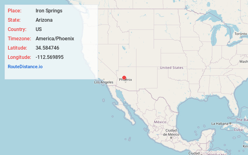
Full AddressIron Springs, AZ 86305
-
Coordinates34.584746, -112.5698948
-
LocationIron Springs , Arizona , US
-
TimezoneAmerica/Phoenix
-
Current Local Time1:53:16 AM America/PhoenixTuesday, June 24, 2025
-
Page Views0
About Iron Springs
Iron Springs is an unincorporated community in central Yavapai County, Arizona, United States, in the Prescott National Forest. It lies along Iron Springs Road northwest of the city of Prescott, the county seat of Yavapai County. Its elevation is 6,073 feet.
Nearby Places
Found 10 places within 50 miles

Prescott
6.6 mi
10.6 km
Prescott, AZ
Get directions

Williamson
7.5 mi
12.1 km
Williamson, AZ
Get directions

Wilhoit
11.0 mi
17.7 km
Wilhoit, AZ 86332
Get directions

Chino Valley
13.6 mi
21.9 km
Chino Valley, AZ
Get directions

Prescott Valley
14.6 mi
23.5 km
Prescott Valley, AZ
Get directions

Grapevine Creek
17.8 mi
28.6 km
Grapevine Creek, Arizona 86333
Get directions

Dewey-Humboldt
19.4 mi
31.2 km
Dewey-Humboldt, AZ
Get directions

Paulden
21.6 mi
34.8 km
Paulden, AZ
Get directions

Mayer
23.0 mi
37.0 km
Mayer, AZ 86333
Get directions

Peeples Valley
23.5 mi
37.8 km
Peeples Valley, AZ
Get directions
Location Links
Local Weather
Weather Information
Coming soon!
Location Map
Static map view of Iron Springs, Arizona
Browse Places by Distance
Places within specific distances from Iron Springs
Short Distances
Long Distances
Click any distance to see all places within that range from Iron Springs. Distances shown in miles (1 mile ≈ 1.61 kilometers).