Distance to Corning, Iowa

Calculating Your Route
Just a moment while we process your request...
Location Information
-
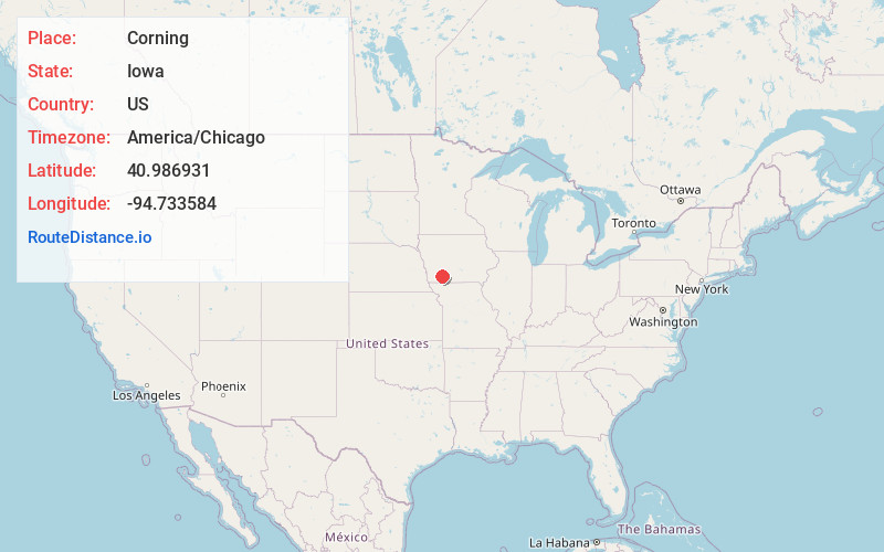
Full AddressCorning, IA 50841
-
Coordinates40.9869306, -94.7335843
-
LocationCorning , Iowa , US
-
TimezoneAmerica/Chicago
-
Current Local Time12:22:09 AM America/ChicagoMonday, June 16, 2025
-
Page Views0
About Corning
Corning is a city in Quincy and Jasper Townships, Adams County, Iowa, United States. The population was 1,564 at the 2020 census. It is the county seat of Adams County. Corning is located just north of the intersection of U.S. Route 34 and Iowa Highway 148.


Nearby Places
Found 10 places within 50 miles

Creston
20.0 mi
32.2 km
Creston, IA 50801
Get directions

Clarinda
23.2 mi
37.3 km
Clarinda, IA 51632
Get directions

Red Oak
25.5 mi
41.0 km
Red Oak, IA 51566
Get directions

Greenfield
26.2 mi
42.2 km
Greenfield, IA 50849
Get directions

Mt Ayr
32.1 mi
51.7 km
Mt Ayr, IA 50854
Get directions

Atlantic
32.3 mi
52.0 km
Atlantic, IA 50022
Get directions

Shenandoah
36.9 mi
59.4 km
Shenandoah, IA 51601
Get directions

Oakland
41.0 mi
66.0 km
Oakland, IA 51560
Get directions

Stuart
41.7 mi
67.1 km
Stuart, IA 50250
Get directions

Winterset
44.3 mi
71.3 km
Winterset, IA 50273
Get directions
Location Links
Local Weather
Weather Information
Coming soon!
Location Map
Static map view of Corning, Iowa
Browse Places by Distance
Places within specific distances from Corning
Short Distances
Long Distances
Click any distance to see all places within that range from Corning. Distances shown in miles (1 mile ≈ 1.61 kilometers).