Distance to Cornucopia, Oregon

Calculating Your Route
Just a moment while we process your request...
Location Information
-
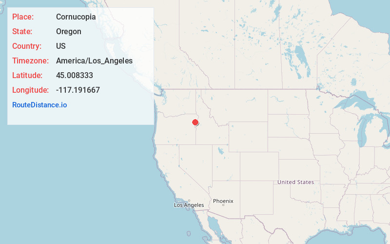
Full AddressCornucopia, OR 97834
-
Coordinates45.008333, -117.191667
-
LocationCornucopia , Oregon , US
-
TimezoneAmerica/Los_Angeles
-
Current Local Time9:29:11 AM America/Los_AngelesTuesday, June 24, 2025
-
Page Views0
About Cornucopia
Cornucopia is a ghost town built during the gold mining boom of the 1880s in Eastern Oregon, United States. The town was officially platted in 1886 and was a mining town with various levels of success until it was abandoned in 1942. It is now primarily a tourist attraction as a ghost town.


Nearby Places
Found 10 places within 50 miles

Carson
5.1 mi
8.2 km
Carson, OR 97834
Get directions

Halfway
9.6 mi
15.4 km
Halfway, OR 97834
Get directions

Sparta
11.5 mi
18.5 km
Sparta, OR 97870
Get directions

Richland
16.6 mi
26.7 km
Richland, OR 97870
Get directions

Wallowa Lake
21.0 mi
33.8 km
Wallowa Lake, OR 97846
Get directions

Joseph
24.0 mi
38.6 km
Joseph, OR 97846
Get directions
Landore
28.6 mi
46.0 km
Landore, ID 83612
Get directions

Enterprise
29.2 mi
47.0 km
Enterprise, OR 97828
Get directions

Pleasant Valley
31.5 mi
50.7 km
Pleasant Valley, OR 97814
Get directions

Lostine
35.1 mi
56.5 km
Lostine, OR 97857
Get directions
Location Links
Local Weather
Weather Information
Coming soon!
Location Map
Static map view of Cornucopia, Oregon
Browse Places by Distance
Places within specific distances from Cornucopia
Short Distances
Long Distances
Click any distance to see all places within that range from Cornucopia. Distances shown in miles (1 mile ≈ 1.61 kilometers).