Distance to Cornudas, Texas

Calculating Your Route
Just a moment while we process your request...
Location Information
-
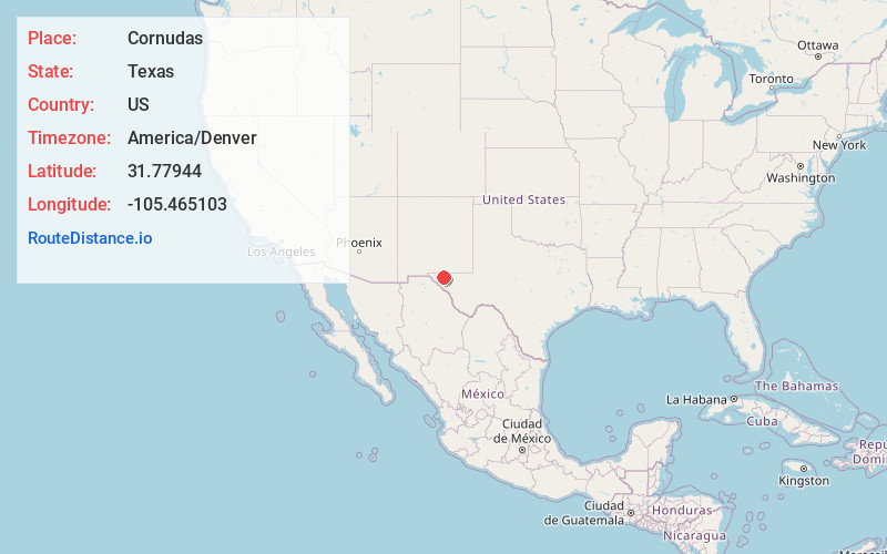
Full AddressCornudas, TX 79847
-
Coordinates31.77944, -105.465103
-
LocationCornudas , Texas , US
-
TimezoneAmerica/Denver
-
Current Local Time2:09:50 PM America/DenverSunday, June 22, 2025
-
Page Views0
About Cornudas
Cornudas is an unincorporated community in Hudspeth County, Texas, United States. Cornudas is located near the intersection of Ranch to Market Road 2317 and the concurrent U.S. Highways 62 and 180, 42 miles northwest of the county seat, Sierra Blanca.


Nearby Places
Found 10 places within 50 miles

Dell City
19.0 mi
30.6 km
Dell City, TX 79837
Get directions

Mile High
35.3 mi
56.8 km
Mile High, TX
Get directions
Butterfield
37.2 mi
59.9 km
Butterfield, TX 79938
Get directions
Acala
40.1 mi
64.5 km
Acala, TX 79839
Get directions

Fort Hancock
41.0 mi
66.0 km
Fort Hancock, TX 79839
Get directions

Homestead Meadows South
41.3 mi
66.5 km
Homestead Meadows South, TX 79938
Get directions
Homestead Meadows North
41.8 mi
67.3 km
Homestead Meadows North, TX 79938
Get directions

Sierra Blanca
42.3 mi
68.1 km
Sierra Blanca, TX 79851
Get directions
Nickel Creek Station
43.3 mi
69.7 km
Nickel Creek Station, TX 79847
Get directions

Tornillo
43.3 mi
69.7 km
Tornillo, TX 79853
Get directions
Location Links
Local Weather
Weather Information
Coming soon!
Location Map
Static map view of Cornudas, Texas
Browse Places by Distance
Places within specific distances from Cornudas
Short Distances
Long Distances
Click any distance to see all places within that range from Cornudas. Distances shown in miles (1 mile ≈ 1.61 kilometers).