Distance to Corydon, Indiana

Calculating Your Route
Just a moment while we process your request...
Location Information
-
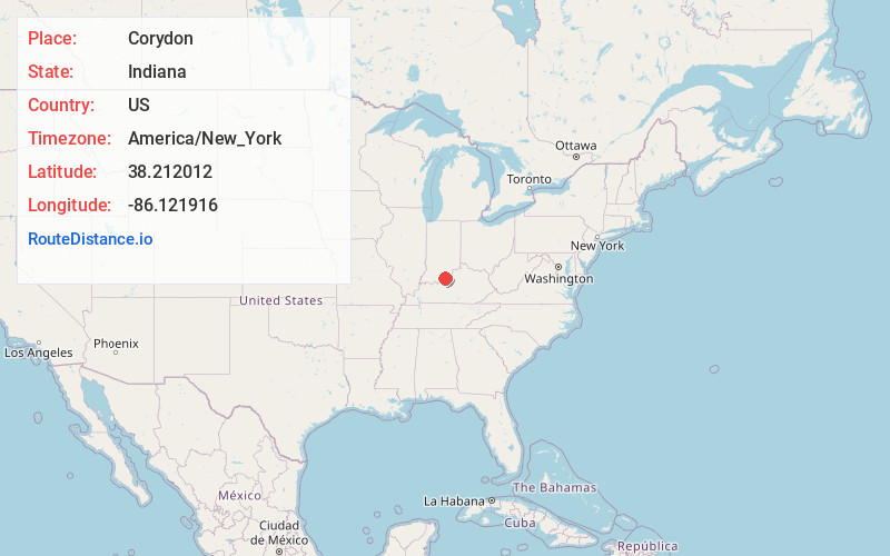
Full AddressCorydon, IN 47112
-
Coordinates38.2120121, -86.1219155
-
LocationCorydon , Indiana , US
-
TimezoneAmerica/New_York
-
Current Local Time3:00:24 PM America/New_YorkThursday, June 19, 2025
-
Website
-
Page Views0
About Corydon
Corydon is a town in Harrison Township and the county seat of Harrison County, Indiana, located north of the Ohio River in the extreme southern part of the state. Corydon was founded in 1808 and served as the capital of the Indiana Territory from 1813 to 1816.


Nearby Places
Found 10 places within 50 miles

Georgetown
9.8 mi
15.8 km
Georgetown, IN
Get directions

Floyds Knobs
15.5 mi
24.9 km
Floyds Knobs, IN
Get directions

New Albany
16.9 mi
27.2 km
New Albany, IN 47150
Get directions

Shively
17.1 mi
27.5 km
Shively, KY
Get directions

Louisville
19.4 mi
31.2 km
Louisville, KY
Get directions

Clarksville
20.5 mi
33.0 km
Clarksville, IN
Get directions

Jeffersonville
21.4 mi
34.4 km
Jeffersonville, IN
Get directions

Fort Knox
22.3 mi
35.9 km
Fort Knox, KY 40121
Get directions

Sellersburg
23.7 mi
38.1 km
Sellersburg, IN
Get directions

Hillview
25.8 mi
41.5 km
Hillview, KY
Get directions
Location Links
Local Weather
Weather Information
Coming soon!
Location Map
Static map view of Corydon, Indiana
Browse Places by Distance
Places within specific distances from Corydon
Short Distances
Long Distances
Click any distance to see all places within that range from Corydon. Distances shown in miles (1 mile ≈ 1.61 kilometers).