Distance to Covedale, Ohio

Calculating Your Route
Just a moment while we process your request...
Location Information
-
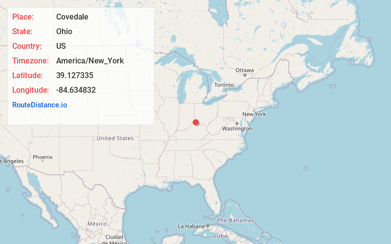
Full AddressCovedale, OH
-
Coordinates39.1273347, -84.6348321
-
LocationCovedale , Ohio , US
-
TimezoneAmerica/New_York
-
Current Local Time7:24:41 PM America/New_YorkWednesday, June 18, 2025
-
Page Views0
About Covedale
Covedale is a census-designated place in Green Township, Hamilton County, Ohio, United States. The population was 6,472 at the 2020 census. The CDP represents the part of the former village of Covedale that was not annexed by the city of Cincinnati in 1930.

Nearby Places
Found 10 places within 50 miles

Bridgetown North
2.3 mi
3.7 km
Bridgetown North, OH
Get directions

Cheviot
2.4 mi
3.9 km
Cheviot, OH 45211
Get directions

Mack
2.6 mi
4.2 km
Mack, OH
Get directions

Monfort Heights
3.5 mi
5.6 km
Monfort Heights, OH
Get directions
Dent
4.1 mi
6.6 km
Dent, OH
Get directions

Villa Hills
5.0 mi
8.0 km
Villa Hills, KY 41017
Get directions
Francisville
5.2 mi
8.4 km
Francisville, KY 41048
Get directions

Hebron
5.6 mi
9.0 km
Hebron, KY 41048
Get directions

White Oak
6.2 mi
10.0 km
White Oak, OH
Get directions

Cincinnati
6.8 mi
10.9 km
Cincinnati, OH
Get directions
Location Links
Local Weather
Weather Information
Coming soon!
Location Map
Static map view of Covedale, Ohio
Browse Places by Distance
Places within specific distances from Covedale
Short Distances
Long Distances
Click any distance to see all places within that range from Covedale. Distances shown in miles (1 mile ≈ 1.61 kilometers).