Distance to Covington, Michigan

Calculating Your Route
Just a moment while we process your request...
Location Information
-
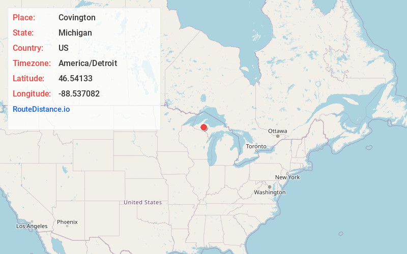
Full AddressCovington, MI
-
Coordinates46.5413295, -88.5370815
-
LocationCovington , Michigan , US
-
TimezoneAmerica/Detroit
-
Current Local Time9:25:51 AM America/DetroitSaturday, June 21, 2025
-
Page Views0
About Covington
Covington is an unincorporated community and census-designated place in Baraga County in the U.S. state of Michigan. The CDP had a population of 99 at the 2020 census. The community is located within Covington Township along US Highway 141 near the junction with M-28, which is a few miles west of US 41.

Nearby Places
Found 10 places within 50 miles

L'Anse
15.4 mi
24.8 km
L'Anse, MI 49946
Get directions

Three Lakes
16.0 mi
25.7 km
Three Lakes, MI 49861
Get directions

Baraga
16.5 mi
26.6 km
Baraga, MI 49908
Get directions
Zeba
19.0 mi
30.6 km
Zeba, MI 49946
Get directions

Michigamme
20.3 mi
32.7 km
Michigamme, MI
Get directions

Republic
28.3 mi
45.5 km
Republic, MI 49879
Get directions

Mass City
30.2 mi
48.6 km
Mass City, MI 49948
Get directions

Bruce Crossing
30.5 mi
49.1 km
Bruce Crossing, MI 49912
Get directions

Iron River
31.4 mi
50.5 km
Iron River, MI 49935
Get directions

Greenland
31.4 mi
50.5 km
Greenland, MI
Get directions
Location Links
Local Weather
Weather Information
Coming soon!
Location Map
Static map view of Covington, Michigan
Browse Places by Distance
Places within specific distances from Covington
Short Distances
Long Distances
Click any distance to see all places within that range from Covington. Distances shown in miles (1 mile ≈ 1.61 kilometers).